LOCATION.--Lat 42°55'51.9", long
76°10'22.7" referenced to North American Datum of
1983, Onondaga County, NY, Hydrologic Unit 04140201, at
Onondaga Dam on Onondaga Creek, 0.5 mi downstream from West
Branch Onondaga Creek, 3.5 mi southwest of Nedrow, 4.0 mi south
of Syracuse, and 12.6 mi upstream from Onondaga Lake.
DRAINAGE AREA.--69 mi².
PERIOD OF RECORD.--June 1949 to September 1952 (monthly
elevations and contents), October 1952 to March 1998, September
2022 to current year. Prior to September 2022, published as
"Onondaga Reservoir near Nedrow".
GAGE.--Water-stage recorder and crest-stage gage.
Reservoir elevation record is provided in Mean Sea Level, not
NGVD29 as published (levels by Corps of Engineers). Reservoir
elevation record is also provided in NAVD of 1988. To convert
Mean Sea Level to NGVD of 1929, add 0.67 ft. To convert
Mean Sea Level to NAVD of 1988, add 0.14 ft.
COOPERATION.--Capacity table provided by Corps of
Engineers.
REMARKS.--
Reservoir is formed by a rolled earthfill dam, completed by
Corps of Engineers in August 1949 for flood control; first used
for flood regulation about a year prior to completion. Usable
capacity, 18,200 acre-ft between elevations 457.0 ft, conduit
invert at intake, and 504.5 ft, crests of spillway. No dead
storage. The flood-control works consist of a pressure conduit
and a side-channel spillway and are not provided with gates.
Water is stored during high flows and released gradually.
Storage includes minor diversion from Gate House Pond in
headwaters of West Branch Tioughnioga River basin.
Capacity table (elevation, in feet, and contents, in acre-feet)

Elevation  Contents      Elevation     Contents
460.0          0           470.0         700
461.0          5           473.0       1,420
462.0         15           478.0       2,880
464.0         50           482.0       4,230
467.0        225           486.0       6,010
EXTREMES FOR PERIOD OF RECORD.--Maximum elevation, 485.9
ft above Mean Sea Level datum (486.04 ft above NAVD of 1988),
Apr. 1, 1960, contents, 5,960 acre-ft; no contents many
days.
 Site Information
 WaterAlert – get an
email or text (SMS) alert based on your chosen threshold.
WaterAlert – get an
email or text (SMS) alert based on your chosen threshold.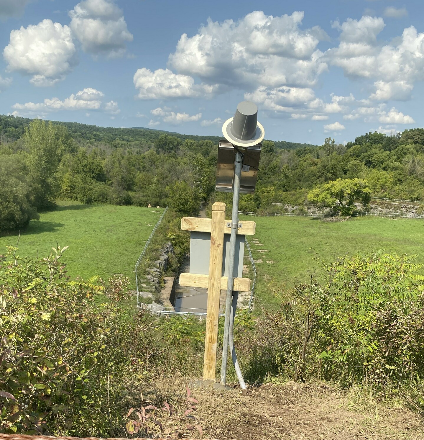 Station image
