LOCATION.--Lat 44°38'24.6", long
73°29'41.6" referenced to North American Datum of
1983, Clinton County, NY, Hydrologic Unit 04150408, on left
bank 32 ft upstream from bridge on Salmon River Road, 0.4 mi
west of State Highway 22, and 3.9 mi upstream from mouth, at
South Plattsburgh.
DRAINAGE AREA.--63.3 mi².
PERIOD OF RECORD.--Occasional low-flow measurements,
water years 1954, 1957-58. May 1959 to September 1968 (no
winter records prior to October 1965), annual maximum
only--1969-86, March 1990 to current year.
REVISIONS HISTORY.--WDR NY-76-1: 1975(M). WDR NY-79-1:
1977(M). WDR NY-85-1: 1973-81(M). Discharge for the period
May 1, 2018, to Aug. 10, 2023, was revised on Mar. 5, 2024,
based on changes to the stage-discharge rating.
GAGE.--Water-stage recorder and crest-stage gage. Datum
of gage is 220.53 ft above NGVD of 1929 and 220.45 ft above
NAVD of 1988.
REMARKS.--Water Years 2014-24: Records good except those
for estimated daily discharges, which are poor.
EXTREMES FOR PERIOD OF RECORD.--Maximum discharge, 4,200
ft³/s, Nov. 9, 1996, gage height, 7.56 ft, from floodmark in
gage well; minimum discharge, 3.0 ft³/s, Sept. 17, 1967.
 Site Information
 WaterAlert – get an
email or text (SMS) alert based on your chosen threshold.
WaterAlert – get an
email or text (SMS) alert based on your chosen threshold.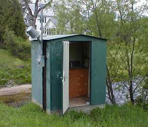 Station image