LOCATION.--Lat 47° 32'15", long 116° 28'20" (NAD27), in SW1/4 SE1/4 NW1/4 sec.4,
T.48 N., R.1 W., Kootenai County, Rose Lake quad., Hydrologic Unit 17010303,
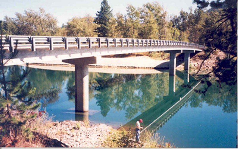
on right bank 10 ft upstream from county road bridge at Rose Lake, 0.7 mi
upstream from Rose Creek, 2.9 mi downstream from Fourth of July Creek, and
at mile 153.4.
DRAINAGE AREA.--1,318 mi2.
PERIOD OF RECORD.--October 1994 to April 2000, (gage heights and discharge
measurements only) (discontinued).
GAGE.--Water-stage recorder. Datum of gage is 2,100.00 ft above NGVD of 1929.
Gage heights have been reduced to that datum.
REMARKS.--Elevations affected by backwater from Coeur d'Alene Lake. Add 2,100 ft
to gage heights to obtain elevations.
EXTREMES FOR PERIOD OF RECORD.--Maximum elevation, 2,139.43 ft Feb. 9, 1996;
minimum elevation, 2,118.98 ft Jan. 14, 1998.