LOCATION.--Lat 47° 21'37", long 116° 41'26" (NAD83), in NW1/4 NW1/4 SW1/4 sec.2,
T.46 N., R.3 W., Benewah County, Benewah Lake quad., Hydrologic Unit 17010304,
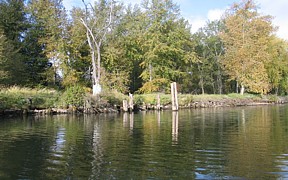
on left bank 0.4 mile upstream from Silvertip Landing in Heyburn State Park,
and at mile 5.4.
DRAINAGE AREA.--1,727 mi2, revised.
PERIOD OF RECORD.--January 1991 to December 1992 (mean daily gage-heights only),
November 2002 to December 2003 (discharge measurements only), March 2004 to
September 2009 (discontinued).
GAGE.--Water-stage recorder and acoustic velocity meter. Datum of gage is 2,100.00 ft
above NGVD of 1929. January 1991 to December 1992, recording gage located 0.3 mi
downstream at datum 6.64 ft higher.
REMARKS.--Elevation affected by backwater from Coeur d'Alene Lake.
During periods of high stage, flows passing the gage may not represent the total
discharge of the St. Joe River as some of the water may bypass the gage about
1.1 mile upstream and enter directly into Round Lake and then into
Coeur d' Alene Lake.
EXTREMES FOR PERIOD OF RECORD.--Maximum daily discharge, 22,400 ft3/s May 19, 2008;
maximum gage height, 32.14 ft, May 23, 2008; minimum daily, 320 ft3/s Dec. 18, 2005.
Station operated with funding provided by U. S. Environmental Protection Agency (E.P.A).