Warning: Javascript must be enabled to use all the features on this page!


Page Loading - Please Wait...

* We've detected you're using a mobile device. Find our Next Generation Station Page here.
Click to hideNews Bulletins

USGS 13240000 LAKE FORK PAYETTE RIVER AB JUMBO CR NR MCCALL ID

PROVISIONAL DATA SUBJECT TO REVISION

Click to hidestation-specific text
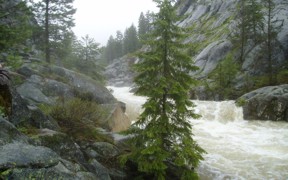
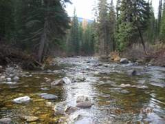
Lake Fork Payette River above Jumbo Creek near McCall, ID - USGS file photo flood Lake fork Payette River above Jumbo Creek near McCall, ID - USGS file photo downstream

> Rating Information

Due to budgetary reductions, this gage will be operated seasonally from April 1-Sept 30 unless alternative funding sources can be found.

This station managed by the Boise Field Office.

Available Parameters Period of Record
  
1945-10-01  2024-04-21


 (365)
 

  -- or --


Summary of all available data for this site
Instantaneous-data availability statement


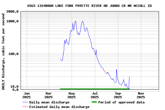
Discharge, cubic feet per second


Graph of DAILY Discharge, cubic feet per second

Add up to 2 more sites and replot for "Discharge, cubic feet per second"

?


Create presentation-quality graph.