LOCATION.--Lat 38°50'41" long 75°39'56", Hydrologic Unit 02060008, 1.3 mi northeast of Adamsville.
WELL CHARACTERISTICS.--Drilled, observation, water-table well, depth 20 ft; casing diameter 4 in., to 13.2 ft;
well point from 13.2 to 18.2 ft.
GAGE.--Equipped with digital water-level recorder--60 min recorder interval from July 10, 2001 to
current year. Monthly measurements with electric tape by U.S. Geological Survey personnel.
DATUM.--Elevation of land surface is 56 ft above National Geodetic Vertical Datum of 1929, from topographic map.
Measuring point: Top of recorder platform, 3.75 ft above land surface.
PERIOD OF RECORD.--July 2001 to current year.
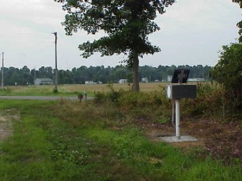
REMARKS.--U.S. Geological Survey water-level telemeter at well.
COOPERATION.--Funding for the operation of this station is provided by the
Delaware Geological Survey, and the U. S. Geological Survey.
