LOCATION.--Lat 39°40'08", long 77°00'56" referenced to North American Datum of 1927,
Carroll County, MD, Hydrologic Unit 02070009, at Union Mills Homestead Park.
WELL CHARACTERISTICS.--Depth 310 ft. Upper casing diameter 6 in; top of first opening 35 ft,
bottom of last opening 310 ft. Drilled, observation, water-table well, open hole below 35 ft.
DATUM.--Land-surface datum is 540 ft above National Geodetic Vertical Datum of 1929.
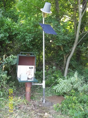
Measuring point: Top of recorder shelter platform 3.03 ft above land surface.
PERIOD OF RECORD.--August 1985 to current year.
GAGE.--Water-level measurements by U.S. Geological Survey personnel. Equipped with digital
water-level recorder--30-minute recording interval, May 2012 to current year.
REMARKS.--Collection of Basic Records (CBR) observation well. Intermittent water-quality records collected
at this station since Water Year 2007. U.S. Geological Survey satellite data-collection platform at well.
