LOCATION.--Lat 42°08'28", long
76°48'46" referenced to North American Datum of 1983,
Chemung County, NY, Hydrologic Unit 02050105, 1.0 mi south of
intersection of Routes 17 and 14, near Horseheads.
WELL CHARACTERISTICS.--Depth 39.2 ft. Upper casing
diameter 2 in; top of first opening 29 ft, bottom of last
opening 39 ft. Cased to 39.2 ft (screen, 29 ft to 39 ft).
Elevation of land-surface datum is 885.15 ft above NGVD of 1929
and 884.58 ft above NAVD of 1988.
DATUM.--Land-surface datum is 884.58 ft above North
American Vertical Datum of 1988. Measuring point: Top of
casing, 2.76 ft above land-surface datum, Jun. 15, 2015 to Jul.
8, 2020; Top of shelter shelf, 3.1 ft above land-surface datum,
Jun. 14, 2017 to present.
PERIOD OF RECORD.--October 2002 to current year.
GAGE.--Water-stage recorder--15 minute; periodic
measurements by USGS personnel.
REMARKS.--Water level affected by stage of Newtown
Creek. This well is a replacement for 420829076484801 (local
number Cm-46), which has a period of record from October 1955
to September 2002. Satellite water-level telemeter at
station.
EXTREMES FOR PERIOD OF RECORD.--Highest water level,
18.39 ft below land-surface datum, Apr. 28, 2011; lowest water
level, 25.95 ft below land-surface datum, July 18, 1980.
 Site Information
 WaterAlert – get an
email or text (SMS) alert based on your chosen threshold.
WaterAlert – get an
email or text (SMS) alert based on your chosen threshold.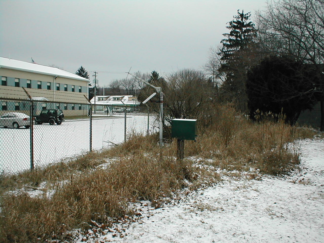 Station image