LOCATION.--Lat 42°19'03.0", long
74°15'22.0" referenced to North American Datum of
1983, Greene County, NY, Hydrologic Unit 02020005, at
Windham.
WELL CHARACTERISTICS.--Depth 352 ft. Upper casing
diameter 6 in; top of first opening 28 ft, bottom of last
opening 214 ft. Cased to 26 ft, open hole.
DATUM.--Land-surface datum is 1,695.95 ft above North
American Vertical Datum of 1988. Measuring point: Top of
casing, 1.1 ft above land-surface datum, Oct. 12, 2017 to
present.
PERIOD OF RECORD.--March 1991 to April 1992, April 2003
to August 2024 (discontinued).
GAGE.--Water-stage recorder--15 minute; periodic manual
measurements by USGS personnel.
REMARKS.--Due to unknown causes, the water level dropped
about 7 ft between September 23 and October 2, 2005, and then
rose over 23 ft between October 2 and November 23, 2005. After
leveling off by January 1, 2006, there is an unexplainable 9 ft
shift in water level. Extremes are reported for the periods of
record before and after this resulting water-level shift. The
period September 23 (1300) through December 31, 2005, was
deemed questionable record and therefore disregarded. Satellite
water-level telemeter at station.
EXTREMES FOR PERIOD OF RECORD.--Highest water level
prior to shift, 18.70 ft below land-surface datum, Dec. 25,
2003; lowest water level prior to shift, 26.10 ft below
land-surface datum, Sept. 4, 1991. Highest water level recorded
since shift, 9.31 ft below land-surface datum, Jan. 26, 2006;
lowest water level recorded since shift, 24.80 ft below
land-surface datum, Sept. 7, 2012.
 Site Information
 WaterAlert – get an
email or text (SMS) alert based on your chosen threshold.
WaterAlert – get an
email or text (SMS) alert based on your chosen threshold.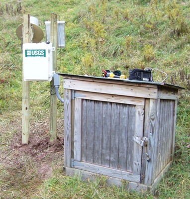 Station image