LOCATION.--Lat 43°01'20.0", long
73°23'22.1" referenced to North American Datum of
1983, Washington County, NY, Hydrologic Unit 02020003, at
Cambridge.
WELL CHARACTERISTICS.--Depth 445 ft. Upper casing
diameter 6 in; top of first opening 31 ft, bottom of last
opening 445 ft.
DATUM.--Land-surface datum is 497.12 ft above North
American Vertical Datum of 1988. Measuring point: Top of
shelter shelf, 1.0 ft above land-surface datum, Apr. 30, 2019
to present.
PERIOD OF RECORD.--April 2019 to current year.
GAGE.--Water-stage recorder--15 minute; periodic manual
measurements by USGS personnel.
REMARKS.--Satellite water-level telemeter at
station.
EXTREMES FOR PERIOD OF RECORD.--Highest water level,
8.54 ft below land-surface datum, Apr. 21, 2022; lowest water
level, 15.67 ft below land-surface datum, Nov. 16, 17, 19,
2024.
 Site Information
 WaterAlert – get an
email or text (SMS) alert based on your chosen threshold.
WaterAlert – get an
email or text (SMS) alert based on your chosen threshold.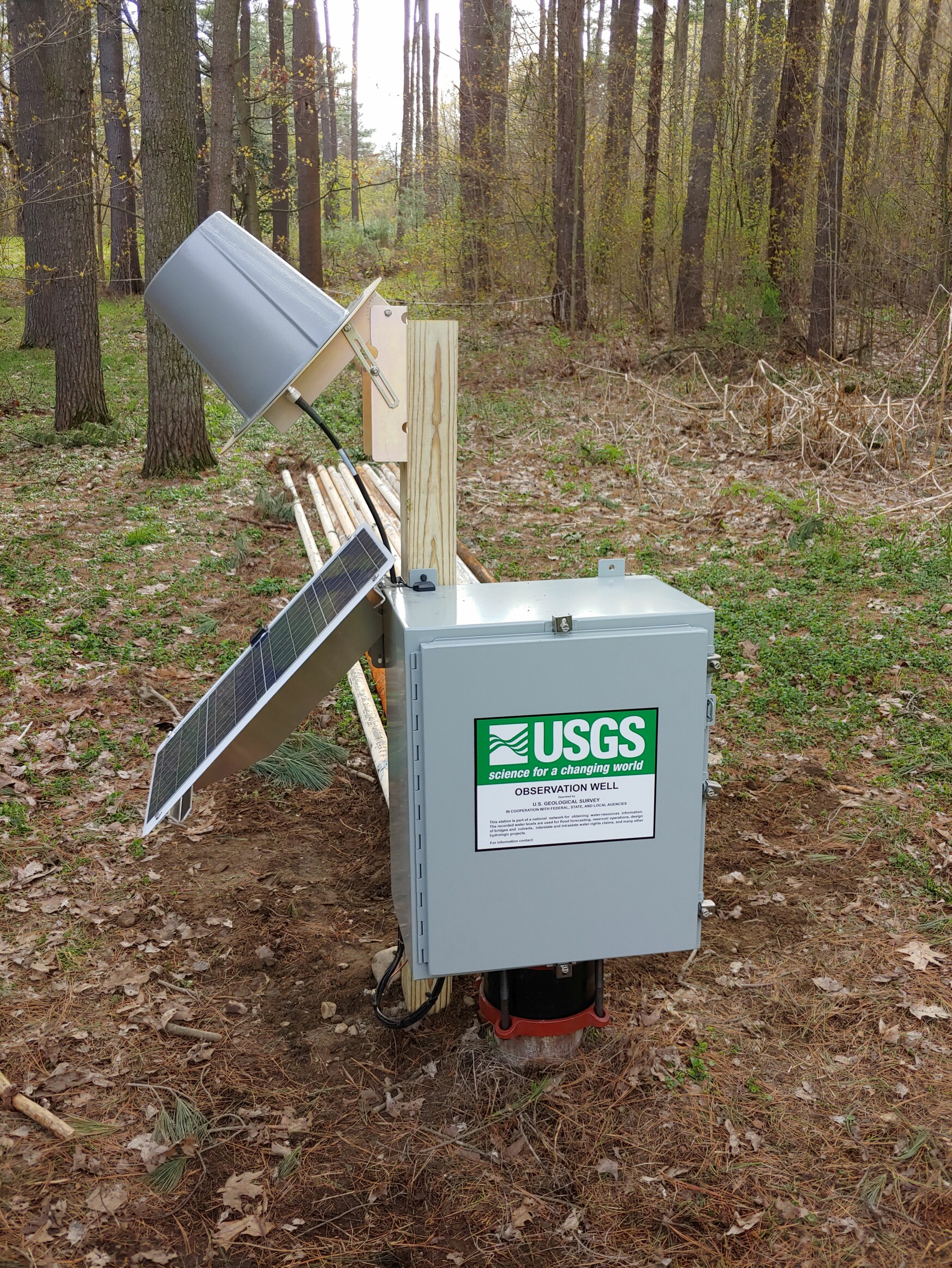 Station image