LOCATION.--Lat 43°21'48.7", long
76°22'49.4" referenced to North American Datum of
1983, Oswego County, NY, Hydrologic Unit 04140202, in gravel
pit adjacent to Oswego County landfill, near Volney.
WELL CHARACTERISTICS.--Depth 29 ft. Upper casing
diameter 2 in; top of first opening 20 ft, bottom of last
opening 30 ft. Well filled in from original depth of 30 ft,
cased to 30 ft (screen, 20 ft to 30 ft).
DATUM.--Land-surface datum is 475.07 ft above North
American Vertical Datum of 1988. Measuring point: Top of
casing, 2.06 ft above land-surface datum, Sep. 21, 2015 to Jul.
20, 2020; Top of casing, 2.07 ft above land-surface datum, Jul.
20, 2020 to present.
PERIOD OF RECORD.--September 1999 to September 2000 and
November 2002 to current year. Records for September 1999 to
September 2000 are unpublished and available in the files of
the U.S. Geological Survey.
GAGE.--Water-stage recorder--15 minute; periodic
measurements by USGS personnel.
REMARKS.--Satellite water-level telemeter at
station.
EXTREMES FOR PERIOD OF RECORD.--Highest water level,
19.42 ft below land-surface datum, Mar. 17, 2025; lowest water
level, 24.57 ft below land-surface datum, Oct. 10, 11, 12, 13,
19, 2007.
 Site Information
 WaterAlert – get an
email or text (SMS) alert based on your chosen threshold.
WaterAlert – get an
email or text (SMS) alert based on your chosen threshold.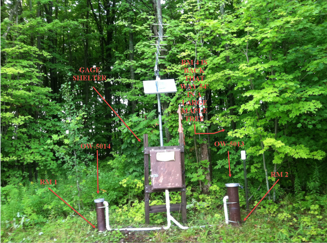 Station image