LOCATION.--Lat 44°16'43.9", long
73°31'51.2" referenced to North American Datum of
1983, Essex County, NY, Hydrologic Unit 04150408, near
Lewis.
WELL CHARACTERISTICS.--Depth 300 ft. Upper casing
diameter 6.5 in; top of first opening 60 ft, bottom of last
opening 267 ft. Cased to 55.5 ft, open hole.
DATUM.--Land-surface datum is 496.66 ft above North
American Vertical Datum of 1988. Measuring point: Top of
extended casing, 3.3 ft above land-surface datum, Sep. 26, 2006
to present.
PERIOD OF RECORD.--October 2006 to current year.
GAGE.--Water-stage recorder--15 minute; periodic manual
measurements by USGS personnel. Prior to May 20, 2009, field
measurements by USGS personnel (see REMARKS).
REMARKS.--Water level affected by nearby pumping. Prior
to May 20, 2009, continuous record not used due to spikes in
data caused by back flushing through a faulty valve connected
to a nearby well.
EXTREMES FOR PERIOD OF RECORD.--Highest water level,
15.81 ft below land-surface datum, May 28, 2011; lowest water
level, 19.21 ft below land-surface datum, Aug. 1, 2010.
 Site Information
 WaterAlert – get an
email or text (SMS) alert based on your chosen threshold.
WaterAlert – get an
email or text (SMS) alert based on your chosen threshold.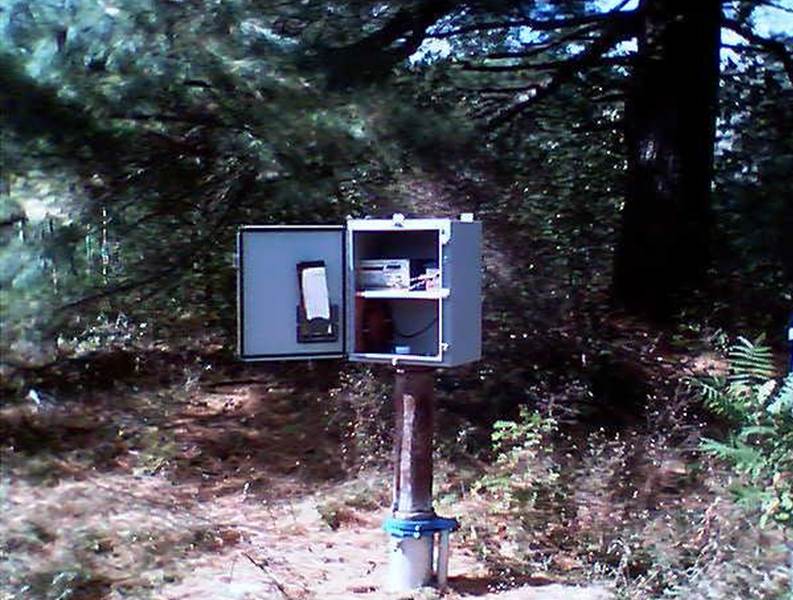 Station image