LOCATION.--Lat 44°58'05.1", long
73°38'04.9" referenced to North American Datum of
1983, Clinton County, NY, Hydrologic Unit 04150408, at Mooers
Forks.
WELL CHARACTERISTICS.--Depth 6 ft. Upper casing diameter
2 in; top of first opening 2 ft, bottom of last opening 6 ft.
Cased to 2 ft (screen, 2 ft to 6 ft).
DATUM.--Land-surface datum is 347.85 ft above North
American Vertical Datum of 1988. Measuring point: Top of
casing, 4.35 ft above land-surface datum, Apr. 18, 2006 to Jul.
6, 2022; Top of casing, 4.36 ft above land-surface datum, Jul.
6, 2022 to present.
PERIOD OF RECORD.--April 2006 to current year.
GAGE.--Water-stage recorder--15 minute; periodic manual
measurements by USGS personnel.
REMARKS.--Water level periodically affected by nearby
pumping. Satellite water-level telemeter at station.
EXTREMES FOR PERIOD OF RECORD.--Highest water level,
0.10 ft above land-surface datum, Dec. 18, 2023; lowest water
level, 5.72 ft below land-surface datum, Aug. 27, 28,
2021.
 Site Information
 WaterAlert – get an
email or text (SMS) alert based on your chosen threshold.
WaterAlert – get an
email or text (SMS) alert based on your chosen threshold.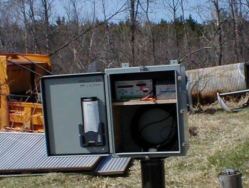 Station image