LOCATION.--Lat 40°39'56.3", long
73°34'12.3" referenced to North American Datum of
1983, Nassau County, NY, Hydrologic Unit 02030202, on right
bank 24 ft upstream from bridge on Hempstead-Babylon Turnpike
and 381 ft west of Meadowbrook Parkway, in Freeport.
DRAINAGE AREA.--28.7 mi².
PERIOD OF RECORD.--October 1851 to December 1852, June
to October 1883, September and October 1885 (fragmentary), June
to October 1903, published in Professional Paper 44, January
1937 to March 2000 (monthly means estimated November 1962 to
December 1963), May 2005 to September 2010, October 2012 to
current year.
REVISIONS HISTORY.--WRD NY 1972: 1967-71 (P). WDR NY
1977: 1973-76 (P). WDR NY-09-2: Drainage area.
GAGE.--Water-stage recorder and concrete control. Datum
of gage is 10.45 ft above NGVD of 1929 and 9.31 ft above NAVD
of 1988 (VERTCON). Prior to October 1885, determinations of
flow by various methods at different site and datum. June to
October 1903, weir in swamp at head of Brooklyn waterworks
supply pond. January 1937 to November 1962, water-stage
recorder and concrete control at site 81 ft east at datum 0.47
ft higher.
REMARKS.--Water Years 2014-24: Records fair except those
for estimated daily discharges, which are poor.
EXTREMES FOR PERIOD OF RECORD.--Maximum discharge, 1,040
ft³/s, Oct. 14, 2005, gage height, 4.02 ft; maximum gage
height, 4.38 ft, Sept. 12, 1960, datum then in use; no flow at
times each year 1971, 1988, 1995, 1999, 2005, 2016.
 Site Information
 WaterAlert – get an
email or text (SMS) alert based on your chosen threshold.
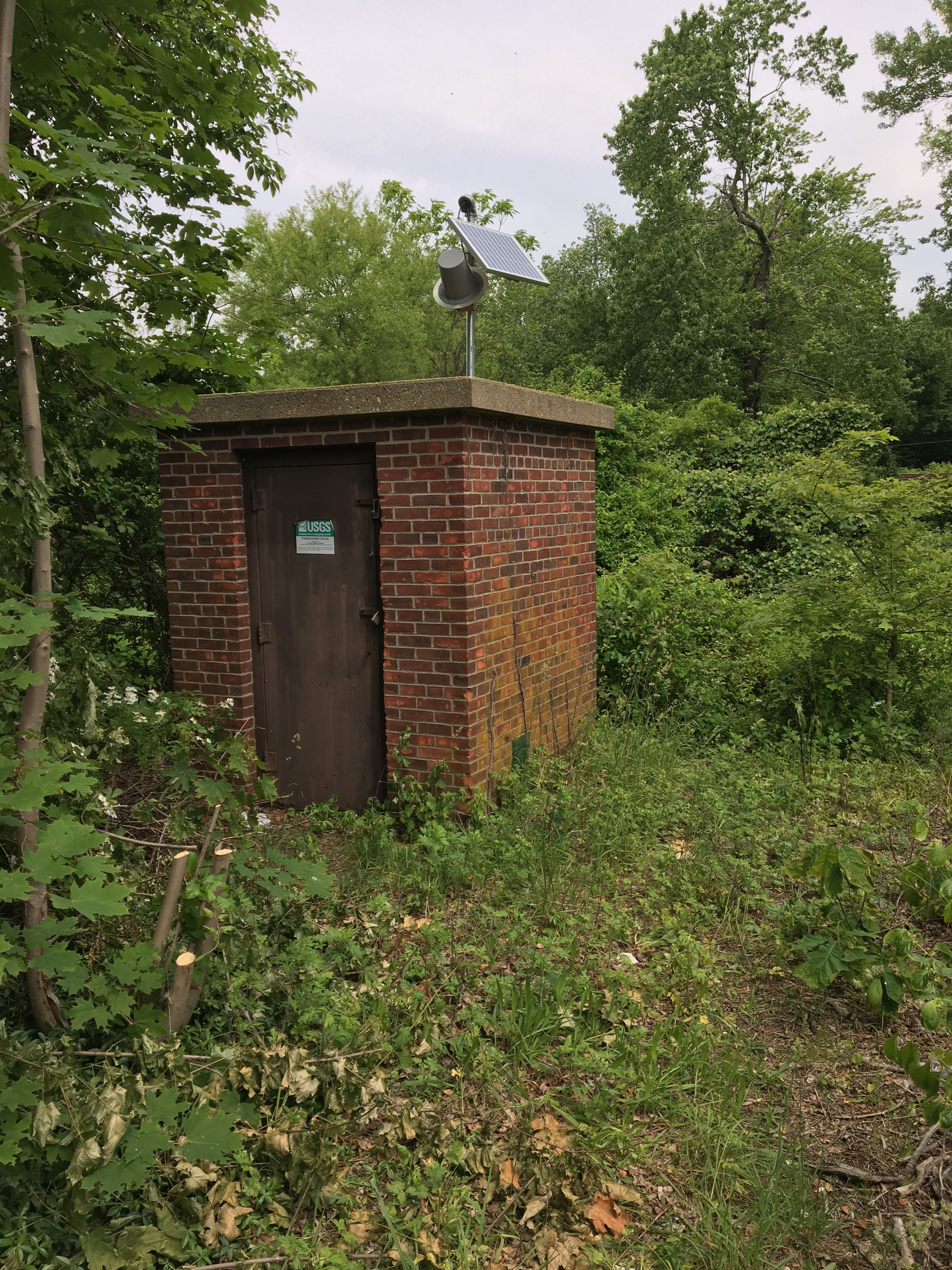
 Station image
