LOCATION.--Lat 43°45'20", long
74°16'35" referenced to North American Datum of 1927,
Hamilton County, NY, Hydrologic Unit 02020001, at Indian Lake
Dam on Indian River, and 2.0 mi south of village of Indian
Lake.
DRAINAGE AREA.--131 mi².
PERIOD OF RECORD.--July 1900 to September 2002 (daily
observations at 0800 hours), October 2002 to current year
(daily mean elevations). Prior to October 1956, published as
"Indian Lake Reservoir near Indian Lake".
REVISIONS HISTORY.--WDR NY-94-1: 1993 (change in
contents).
GAGE.--Water-stage recorder. Lake elevation record is
provided in NGVD of 1929 and NAVD of 1988 datums. To convert
NGVD of 1929 elevations to NAVD of 1988, subtract 0.25 ft.
Prior to October 1975, daily gage heights at datum 1,617.91 ft
higher (not 1,617.95 ft higher as previously published); gage
heights have been reduced to elevations above NGVD of 1929 and
NAVD of 1988. Prior to January 1998, nonrecording gage read
once daily.
COOPERATION.--Elevation record and capacity table
provided by Board of Hudson River-Black River Regulating
District.
REMARKS.--Elevations listed herein are in feet above
NGVD of 1929. Reservoir is formed by masonry dam, completed in
1898. Usable capacity, about 4.668 bil ft³ at elevation
1,651.29 ft (crest of spillway). Sills of double sluice gates
at lowest outlet at elevation 1,615.50 ft. Dead storage
unknown. Figures given herein represent usable contents. Water
is used for power development, for improvement of navigation in
lower Hudson River, and to compensate for flow diverted from
Hudson River at Glens Falls into Champlain (Barge) Canal.
Capacity table (elevation, in feet, and usable contents, in billions of cubic feet)

Elevation  Contents      Elevation  Contents
1,618.0     0.212        1,640.0     2.733
1,622.0     0.344        1,646.0     3.725
1,628.0     0.972        1,652.0     4.808
1,634.0     1.810        1,657.0     5.844
EXTREMES FOR PERIOD OF RECORD.--Maximum elevation
observed, 1,656.71 ft above NGVD of 1929 (1,656.46 ft above
NAVD of 1988), Mar. 28, 1913, contents, 5.781 bil ft³; minimum
elevation, 1,616.81 ft above NGVD of 1929, (1,616.55 ft above
NAVD of 1988), estimated, Feb. 13, 1948, contents, 0.20 bil
ft³.
 Site Information
 WaterAlert – get an
email or text (SMS) alert based on your chosen threshold.
WaterAlert – get an
email or text (SMS) alert based on your chosen threshold.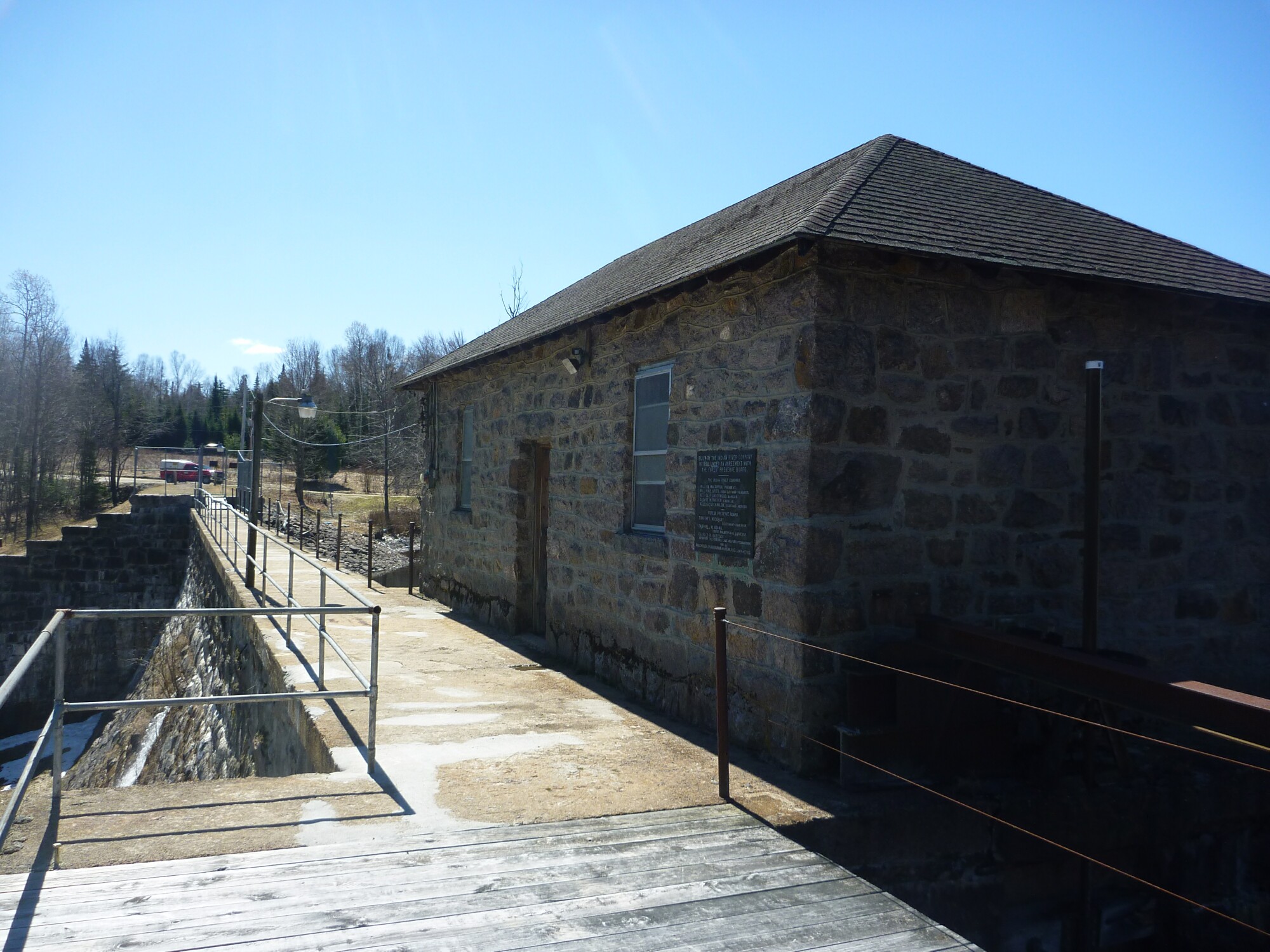 Station image