Warning: Javascript must be enabled to use all the features on this page!
Page Loading - Please Wait...
- Explore the NEW USGS National Water Dashboard interactive map to access real-time water data from over 13,500 stations nationwide.
Learn more about our modernization plans to find out which options will suit you best. Next Generation Monitoring Location Page is available now.
A beta version of the My Favorites page is available in WDFN. Try it out and tell us what you think at wdfn@usgs.gov
 Site Information
 WaterAlert – get an
email or text (SMS) alert based on your chosen threshold.
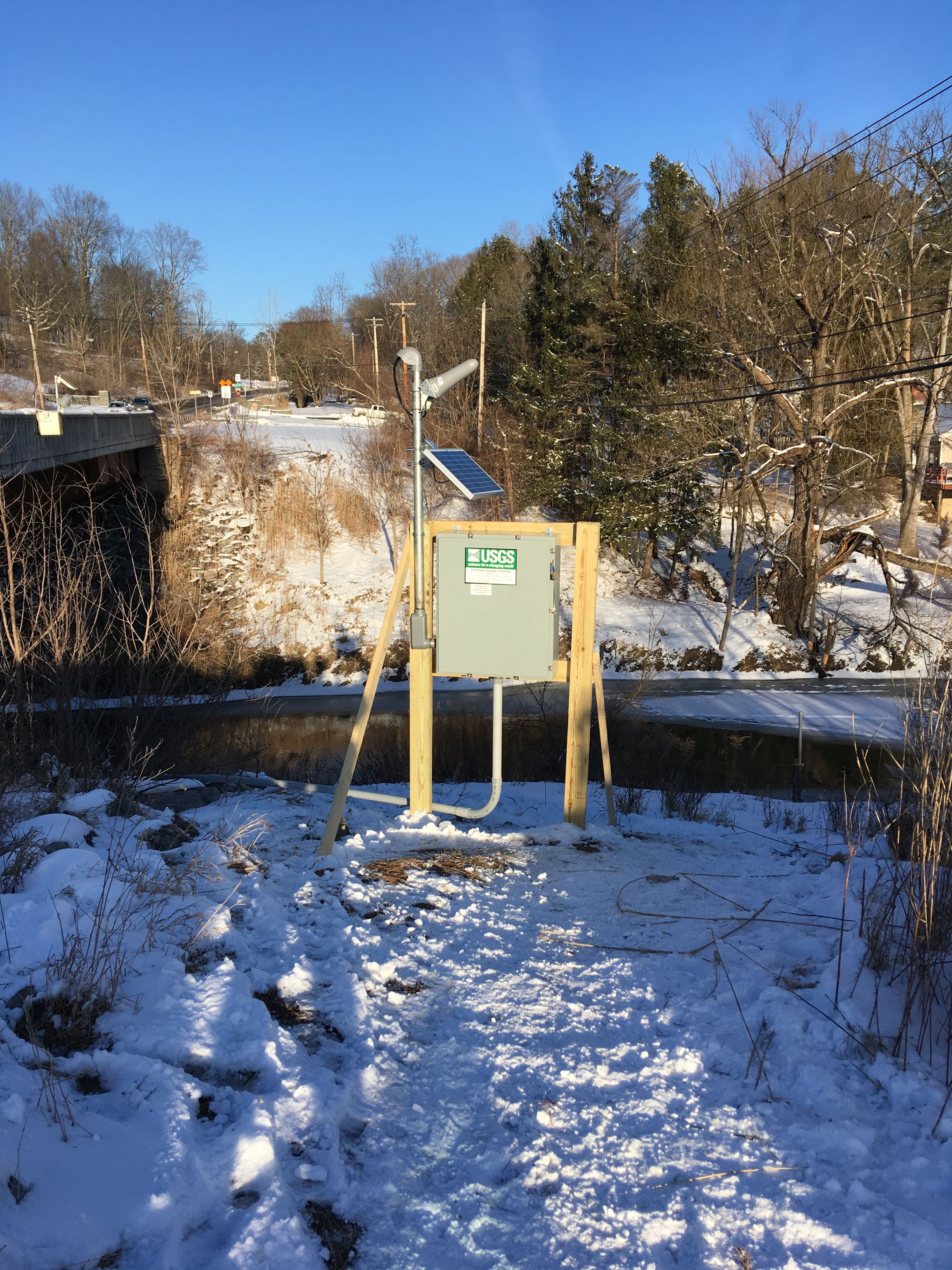
 Station image

![Graph of Water surface elevation difference between two locations, feet, [Karlsfeld minus Albany]](https://natwebsdww01.cr.usgs.gov/nwisweb/data/img/USGS.01359525.106985.99064..20260215.20260222..0..gif)