LOCATION.--Lat 39°39'13.0", long 79°24'29.9", Garrett County, MD, Hydrologic Unit 05020006, on left bank
0.7 mi upstream from bridge on State Highway 42 at Friendsville, and 1.5 mi upstream from Bear Creek.
DRAINAGE AREA.--295 mi2.
PERIOD OF RECORD.--August 1898 to December 1904, October 1940 to current year. Annual maximum only, water years 1905,
1923-31, 1940, published in WSP 1675. October, November 1940 monthly discharge only, published in WSP 1305.
September 1922 to September 1926 (gage heights only) in reports of Pennsylvania Department of Forests and Waters.
REVISIONS HISTORY.--WSP 1385: Drainage area at former site, 1898-1905, 1941(M), 1942, 1944-45, 1948-49, 1951(M),
WDR-US-2007: 2005(M).
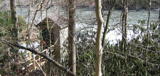
GAGE.--Water-stage recorder and crest-stage gage. Datum of gage is 1,486.81 ft above North American Vertical Datum of 1988.
From December 3, 1940 to September 19, 2022, datum published as 1486.82 ft above North American Vertical Datum of 1988.
Aug. 17, 1898, to Dec. 31, 1904, and Sept. 1, 1922, to Sept. 30, 1926, nonrecording gages at bridge 0.7 mi downstream
at gage datum 16.24 ft and 16.29 ft lower, respectively.
REMARKS.--Low and medium flow regulated since July 1925 by Deep Creek Reservoir, 12 mi upstream from station.
U.S. Army Corps of Engineers satellite data-collection platform at station.
EXTREMES FOR PERIOD OF RECORD.--Maximum discharge, 16,100 ft3/s, Jan. 19, 1996, gage height, 9.54 ft.
(14.20 ft recorded on Mar. 29, 1924 at site and gage datum then in use); minimum discharge, unknown.
COOPERATION.--Funding for the operation of this station is provided by the U.S. Army Corps of Engineers.


