LOCATION.--Lat 43°44'42.7", long
74°46'57.5" referenced to North American Datum of
1983, Hamilton County, NY, Hydrologic Unit 04150101, on dam at
outlet of Sixth Lake at Inlet, and 11.2 mi upstream from dam at
Old Forge.
DRAINAGE AREA.--18.6 mi².
PERIOD OF RECORD.--October 1969 to September 2003
(month-end elevations or gage heights, and contents). October
2003 to current year. Records from November 1911 to September
1969, available from Board of Hudson River-Black River
Regulating District.
GAGE.--Water-stage recorder and nonrecording gage read
once daily. Datum of gage is NGVD of 1929 (levels by Board of
Hudson River-Black River Regulating District). To convert
elevations to NAVD of 1988, add 0.19 ft. Prior to 2004
water year, only nonrecording gage read once daily.
COOPERATION.--Elevation record and capacity table
provided by Board of Hudson River-Black River Regulating
District.
REMARKS.--The Sixth and Seventh Lakes of Fulton Chain
Lakes are partially formed and controlled by the concrete dam
at Inlet, while the Eighth Lake is upstream and at
approximately 5 ft higher elevation. Storage began around 1881.
The present structure is a concrete dam with control gates
which were installed in 1938. Usable capacity 296.6 mil ft³
between minimum operating level, elevation 1,775.1 ft, and
crest of spillway, elevation 1,786.0 ft; no dead storage below
minimum operating level. Figures given herein represent usable
contents. The dam is operated by Board of Hudson River-Black
River Regulating District.
Capacity table (elevation, in feet, and usable contents, in millions of cubic feet)

Elevation  Contents      Elevation  Contents
1,775.1       0.0        1,783.0     202.2
1,778.0      52.6        1,786.0     296.6
1,780.0     111.3        1,789.0     394.5
EXTREMES FOR PERIOD OF RECORD.--Maximum elevation
observed, 1,787.1 ft, Oct. 3, 1945, contents, 332 mil ft³;
minimum elevation observed, water level below elevation 1,775.6
ft, Nov. 18, 1943, contents, 0.90 mil ft³.
 Site Information
 WaterAlert – get an
email or text (SMS) alert based on your chosen threshold.
WaterAlert – get an
email or text (SMS) alert based on your chosen threshold.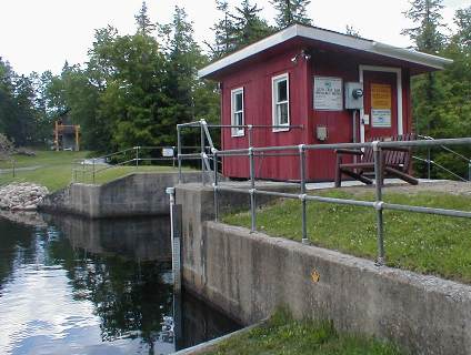 Station image