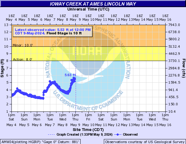
LOCATION.--Lat 42°01'23", long 93°37'49"
referenced to North American Datum of 1927, in SE 1/4 SE 1/4 SW 1/4
sec.3, T.83 N., R.24 W., Story County, IA, Hydrologic Unit 07080105,
on left bank 65 ft downstream from bridge on Lincoln Way in Ames, 0.2
mi downstream from College Creek, and 2.5 mi upstream from mouth.
(map)
DRAINAGE AREA.--204 mi2.
SURFACE-WATER RECORDS
PERIOD OF RECORD.--Discharge records from May 1919 to September
1927, May 1965 to current year. December 1925 to September 1927,
monthly mean discharge for some periods published in WSP 1308.
REVISED RECORDS.--WSP 1308: Drainage area, 1920-22 (M), 1923,
1924-25 (M), 1926, 1927 (M). WDR IA-66-1: 1965. WDR IA-71-1: 1970
(M).
GAGE.--Water-stage recorder and concrete control. Datum of gage is
881.00 ft above National Geodetic Vertical Datum of 1929 (levels by
Iowa State University). Prior to March 11, 1925, non-recording gage
at site 0.6 mi upstream at different datum; March 11, 1925, to April
30, 1927, non-recording gage at site 65 ft upstream at datum about 4
ft higher.
 Site Information
 Advanced
Hydrologic Prediction Service

