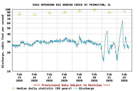
The stream gaging location has changed. The gage is now located
approximately 500 ft upstream at the Route 6 bridge. The gage datum has
not changed, so gage height values can be compared to those from the
old location. However because of specific channel characteristics, gage
height values at the new location will tend to be higher than those at
the old location by approximately 0.50 to 0.75 ft. A new rating is
being developed to account for the higher gage height values from the
new location.
This site is operated in cooperation with the
 U.S. Army Corps of
Engineers
Rock Island District -- Rock Island,
Illinois
Streamflow information saves lives and protects property during
floods. Information on the streamflow in the Nation's
rivers also helps to ensure adequate water resources for a healthy
environment and economy. The U.S. Geological Survey (USGS)
operates and maintains a national network of over 7,000
streamgages.
 U.S. Army Corps of
Engineers
