This page is undergoing modernization with expected decommissioning as key features
are added to the modernized pages.
Learn more about our
modernization plans to find out which options will suit you best. Next Generation Monitoring Location Page
is available now.
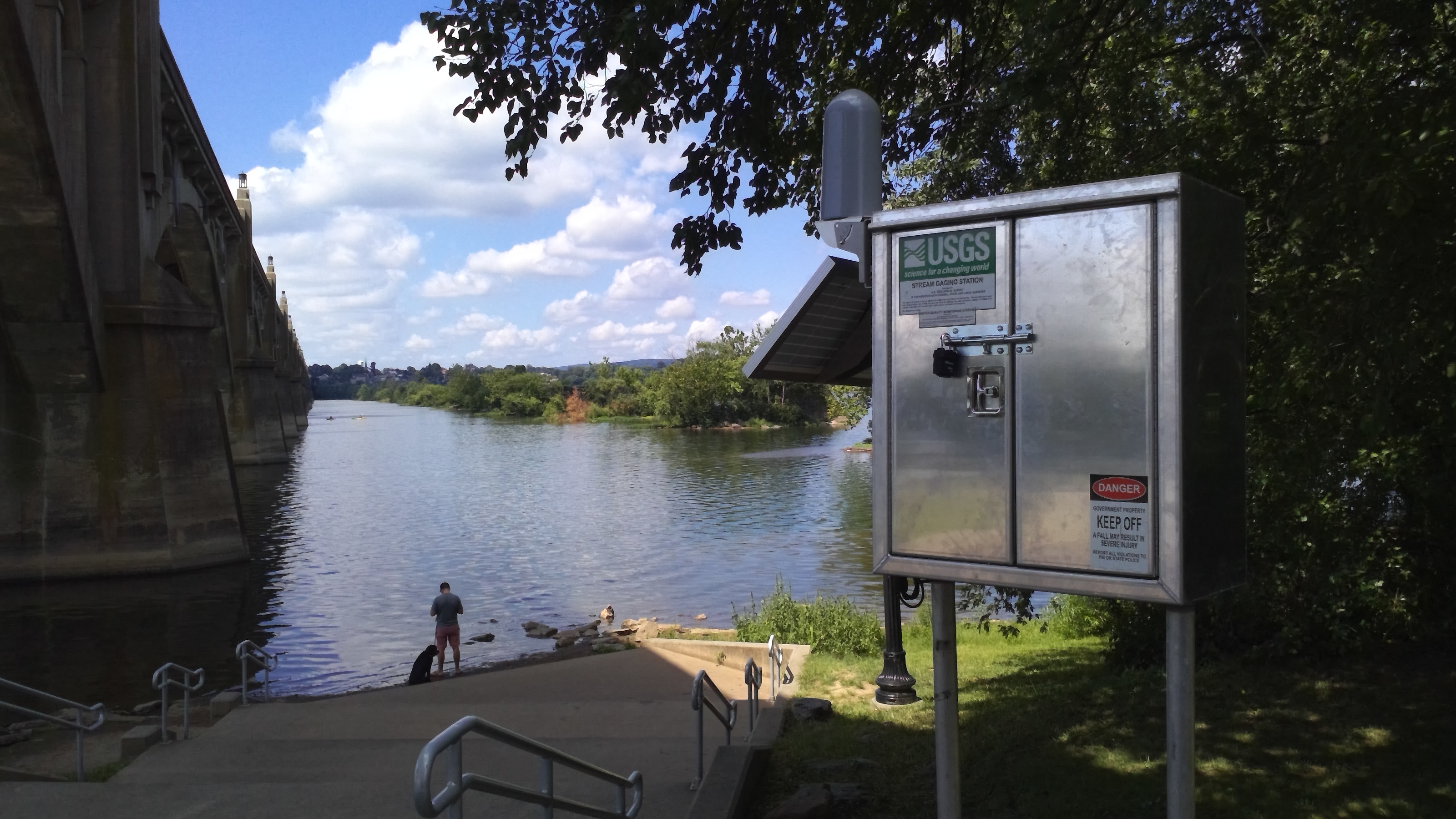
STATION.--01576003
SUSQUEHANNA RIVER AT COLUMBIA, PA LOCATION.--Lat 40`01'42", long
76`31'05", Lancaster County, Hydrologic Unit 02050306, on
east shore at Columbia Crossing Heritage Park. DRAINAGE AREA.--26,000 square miles. PERIOD OF RECORD.--August 2022 to current
year. GAGE.--Three water-quality instruments at west,
center and east locations in channel, interfaced via radio with a
data logger/transmitter. Datum of gage is 288 ft above North American
Vertical Datum of 1988. COOPERATION.--Station established and maintained by
the U.S. Geological Survey. Funding for the operation of this station
is provided by the Pennsylvania Department of Environmental
Protection.
This station managed by the PAWSC New Cumberland Office.
Turbidity, water, unfiltered, monochrome near infra-red LED light, 780-900 nm, detection angle 90 +-2.5 degrees, formazin nephelometric units (FNU), Center
-- Data temporarily unavailable for the time period specified --

 STATION.--01576003
SUSQUEHANNA RIVER AT COLUMBIA, PA
STATION.--01576003
SUSQUEHANNA RIVER AT COLUMBIA, PA 


