Warning: Javascript must be enabled to use all the features on this page!


Page Loading - Please Wait...

* We've detected you're using a mobile device. Find our Next Generation Station Page here.
Click to hideNews Bulletins
! This page is undergoing modernization with expected decommissioning as key features are added to the modernized pages.
Learn more about our modernization plans to find out which options will suit you best. Next Generation Monitoring Location Page is available now.

USGS 05424057 ROCK RIVER AT HORICON, WI

PROVISIONAL DATA SUBJECT TO REVISION

Click to hidestation-specific text

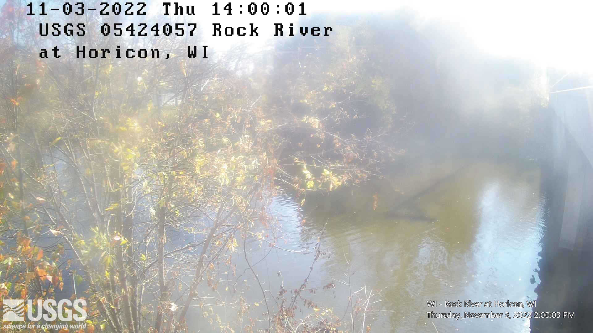
LOCATION.--Lat 43°27'01", long 88°37'56", in NW 1/4 SE 1/4 sec.6, T.11 N., R.16 E., Dodge County, Hydrologic Unit 07090001, on left bank downstream side of State Hwy 33, 1700 ft. upstream of dam, at Horicon.

DRAINAGE AREA.--456 square miles.

PERIOD OF RECORD.--November 1997 to December 2000. November 2001 to present.

GAGE.--Water-stage recorder and side-looking velocity meter system. Elevation of gage is 849.48 ft +/- 0.04 ft NAVD88.

REMARKS.--Gage-height telemeter at station.

Use of trade, product, or firm names is for descriptive purposes only and does not imply endorsement by the U.S. Government.

OPERATED IN COOPERATION WITH:

Wisconsin Department of Natural Resources Logo Wisconsin Department of Natural Resources

Additional Information:

National Weather Service Logo National Weather Service Flood Forecast Page

Boating safety tips

Click on animated image to see the latest medium size current video and the static image to view newest full size image. Click on these links for:full size current video; Frame Gallery; all video products for the site.

Time-lapse video products are considered a proof of concept with no guarantee regarding product up time. Time-lapse videos can be viewed using Chrome, Firefox or Opera browser application on smartphone, tablet, desktop and laptop devices. Additional browser support for Safari and Internet Explorer may be added later.

Any use of trade, firm, or product names is for descriptive purposes only and does not imply endorsement by the U.S. Government.

This station managed by the Wisconsin Water Science Center - Madison WI.

Available Parameters Available Period
  
1997-11-20  2024-05-02
2017-10-01  2024-05-02
2021-05-03  2024-05-02
2024-01-03  2024-05-02


 (7)
 

  -- or --


Summary of all available data for this site
Instantaneous-data availability statement


Discharge, cubic feet per second, [PRIMARY, Q-Vel]

Most recent instantaneous value: 633 05-02-2024   18:00 CDT
Graph of

Add up to 2 more sites and replot for "Discharge, cubic feet per second, [PRIMARY, Q-Vel]"

?


Create presentation-quality / stand-alone graph.   Subscribe to WaterAlert      

See this graph on the Monitoring Location Pages


Daily discharge, cubic feet per second -- statistics for May 2 based on 24 water years of record more
Min
(2003)
25th
percen-
tile
Most Recent
Instantaneous
Value May 2
Median Mean 75th
percen-
tile
Max
(2013)
141 511 633 646 796 1110 1760


Gage height, feet

Most recent instantaneous value: 6.57 05-02-2024   18:00 CDT
Graph of

Add up to 2 more sites and replot for "Gage height, feet"

?


Create presentation-quality / stand-alone graph.   Subscribe to WaterAlert      

See this graph on the Monitoring Location Pages


Stream water level elevation above NAVD 1988, in feet

Most recent instantaneous value: 856.05 05-02-2024   18:00 CDT
Graph of

Add up to 2 more sites and replot for "Stream water level elevation above NAVD 1988, in feet"

?


Create presentation-quality / stand-alone graph.   Subscribe to WaterAlert      

See this graph on the Monitoring Location Pages


Mean water velocity for discharge computation, feet per second

Most recent instantaneous value: 1.41 05-02-2024   18:00 CDT
Graph of

Add up to 2 more sites and replot for "Mean water velocity for discharge computation, feet per second"

?


Create presentation-quality / stand-alone graph.   Subscribe to WaterAlert      

See this graph on the Monitoring Location Pages