Important Legacy real-time page
Available data
Select data types to graph from categories based on the way the data were collected.
Learn about the data collection categories Continuous data
8 data types available - data from 2001-01-24 to 2026-10-13
Daily data
11 data types available - data from 1949-11-28 to 2026-10-11
Field measurements
2 data types available - data from 1949-12-06 to 2026-10-01
Discrete sample data
116 Observed properties (data types) available - data from 1961-01-01 to 2026-10-05
3058 Sampling activities
Peak measurements
2 data types available - data from 1950-09-11 to 2023-12-19
Statistical tables for select daily data types
9 data types available - data from 1949-11-28 to 2026-10-11
Important information about this monitoring location
LOCATION.-- On bank at left downstream side of bridge on State Highway 227, 30 ft downstream from Old Womans Run, 1.2 mi southeast of Pomonkey, and 12.6 mi upstream from mouth. PERIOD OF RECORD.-- November 1949 to September 1972. Annual maximums, water years 1973-86. January 2001 to current year. GAGE.-- Water-stage recorder, crest-stage gage and concrete control. Datum of gage is 39.54 ft above North American Vertical Datum of 1988. REMARKS.-- Low flow affected by ground-water diversions from municipal well fields at Waldorf and St. Charles.
Available location images
Mattawoman Creek near Pomonkey
Mattawoman Creek near Pomonkey, MD
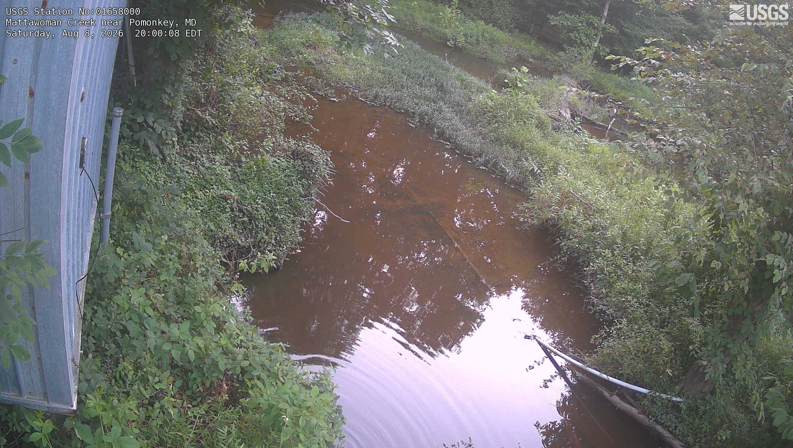 View more imagery information for Mattawoman Creek near Pomonkey
Monitoring locations with continuous data in last 120 days
No locations found