


Important Legacy real-time page
Available data
Select data types to graph from categories based on the way the data were collected.
Learn about the data collection categories Continuous data
11 data types available - data from 2009-10-20 to 2026-10-26
Daily data
8 data types available - data from 1963-08-01 to 2026-10-26
Field measurements
2 data types available - data from 1963-08-12 to 2026-06-24
Discrete sample data
154 Observed properties (data types) available - data from 1967-04-13 to 2026-08-06
93 Sampling activities
Peak measurements
2 data types available - data from 1964-08-27 to 2025-07-11
Statistical tables for select daily data types
8 data types available - data from 1963-08-01 to 2026-10-26
Important information about this monitoring location
Datum of gage is 286.00 ft above NAVD88. The NAVD88 was determined by a level 2 GNSS static survey (Reference Frame NAD_83(2011)(EPOCH:2010.0000), GEOID12B) by USGS on November 9th, 2022. Prior to November 2022 arbitrary datum, elevation of gage was 300 ft NGVD of 1929 as determined via topographic map.
Available location images
Salmon River near Hyder
Salmon River near Hyder, AK
Monitoring location 15008000 is associated with a STREAM in PRINCE OF WALES-HYDER CENSUS AREA, ALASKA. Current conditions of DISCHARGE, DISSOLVED OXYGEN, GAGE HEIGHT, and MORE are available. Water data back to 1963 are available online.
This camera is telemetered by satellite and updates at approximately 18:00 UTC (+/- 60 minutes) each day.
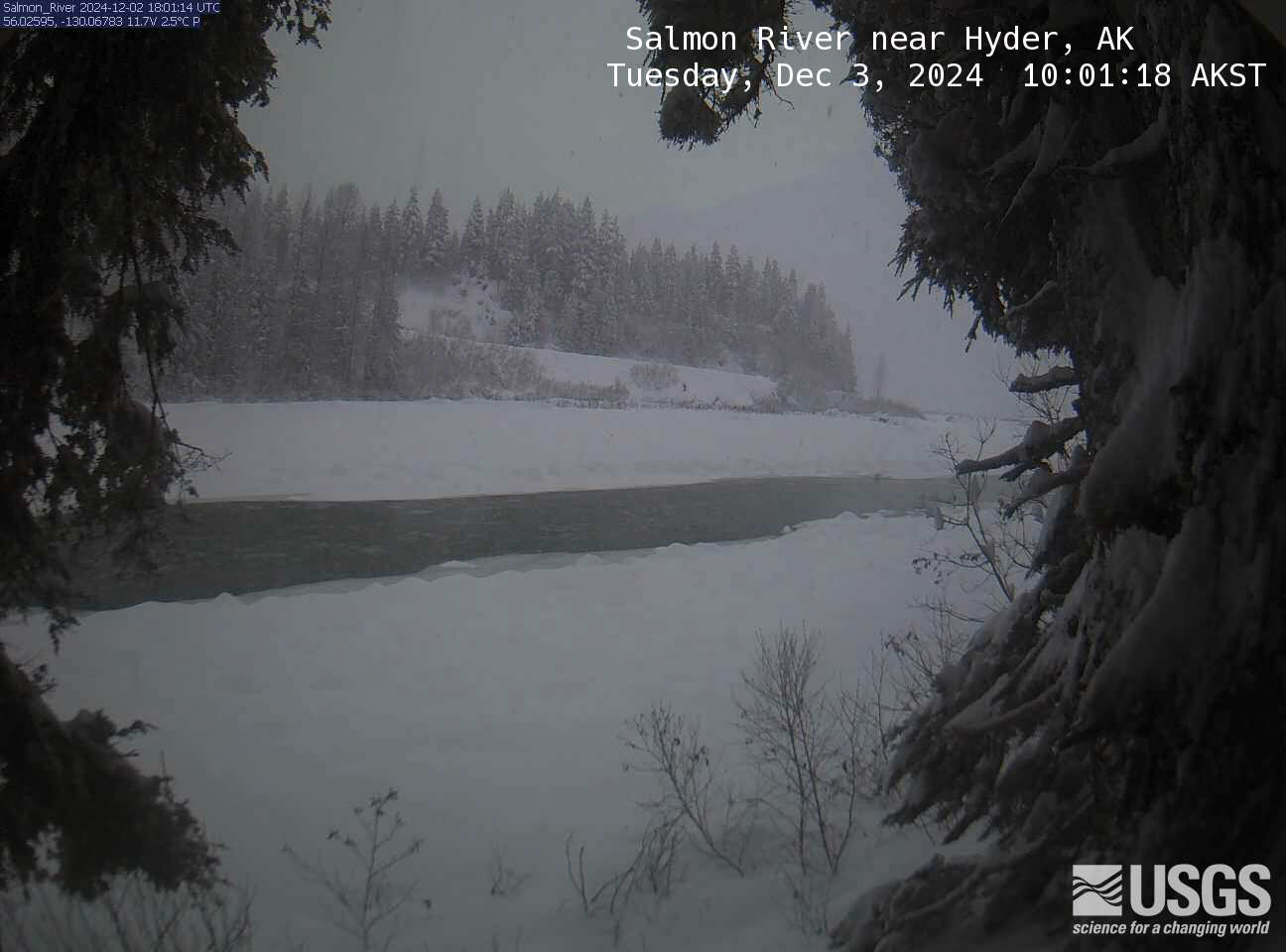 View more imagery information for Salmon River near Hyder
Monitoring locations with continuous data in last 120 days
No locations found

