


Available data
Select data types to graph from categories based on the way the data were collected.
Learn about the data collection categories Continuous data
0 data types available
Daily data
1 data types available - data from 2020-02-01 to 2024-12-20
Field measurements
2 data types available - data from 2019-07-17 to 2025-04-04
Discrete sample data
0 observed properties (data types) available
Statistical tables for select daily data types
1 data types available - data from 2020-02-01 to 2024-12-20
Important information about this monitoring location
The elevation of this gage is 141.8 ft above North American Vertical Datum of 1988. To obtain stream water surface elevation values in NAVD88, add 141.8 feet to gage height values.
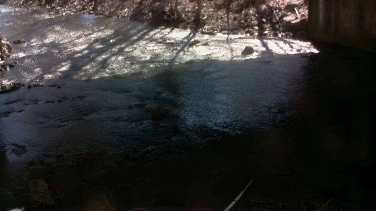
Available location images
Monitoring locations with continuous data in last 120 days
No locations found