Important Legacy real-time page
Available data
Select data types to graph from categories based on the way the data were collected.
Learn about the data collection categories Continuous data
3 data types available - data from 1986-12-25 to 2026-10-24
Daily data
2 data types available - data from 1929-05-01 to 2026-10-22
Field measurements
2 data types available - data from 1929-03-27 to 2026-08-06
Discrete sample data
0 observed properties (data types) available
Peak measurements
2 data types available - data from 1929-10-02 to 2025-07-10
Statistical tables for select daily data types
2 data types available - data from 1929-05-01 to 2026-10-22
Important information about this monitoring location
Concrete control was utilized from November 1965 to June 2021. Prior to Jan. 18, 1930, non-recording gage, Jan. 18, 1930, to Sept. 9, 1941, water-stage recorder at site 0.9 mi upstream, and Sept. 10, 1941, to Sept. 30, 1964, water-stage recorder at site 0.8 mi upstream, all at datum 5.64 ft higher. Nov. 1 to Dec. 20, 1965, non-recording gage about 40 ft downstream at unknown datum, Dec. 21, 1965, to Mar. 31, 1966, non-recording gage at present site and datum. Flow regulated by Pixelle Specialty Solutions.
Available location images
Codorus Creek at Spring Grove
Codorus Creek at Spring Grove, PA
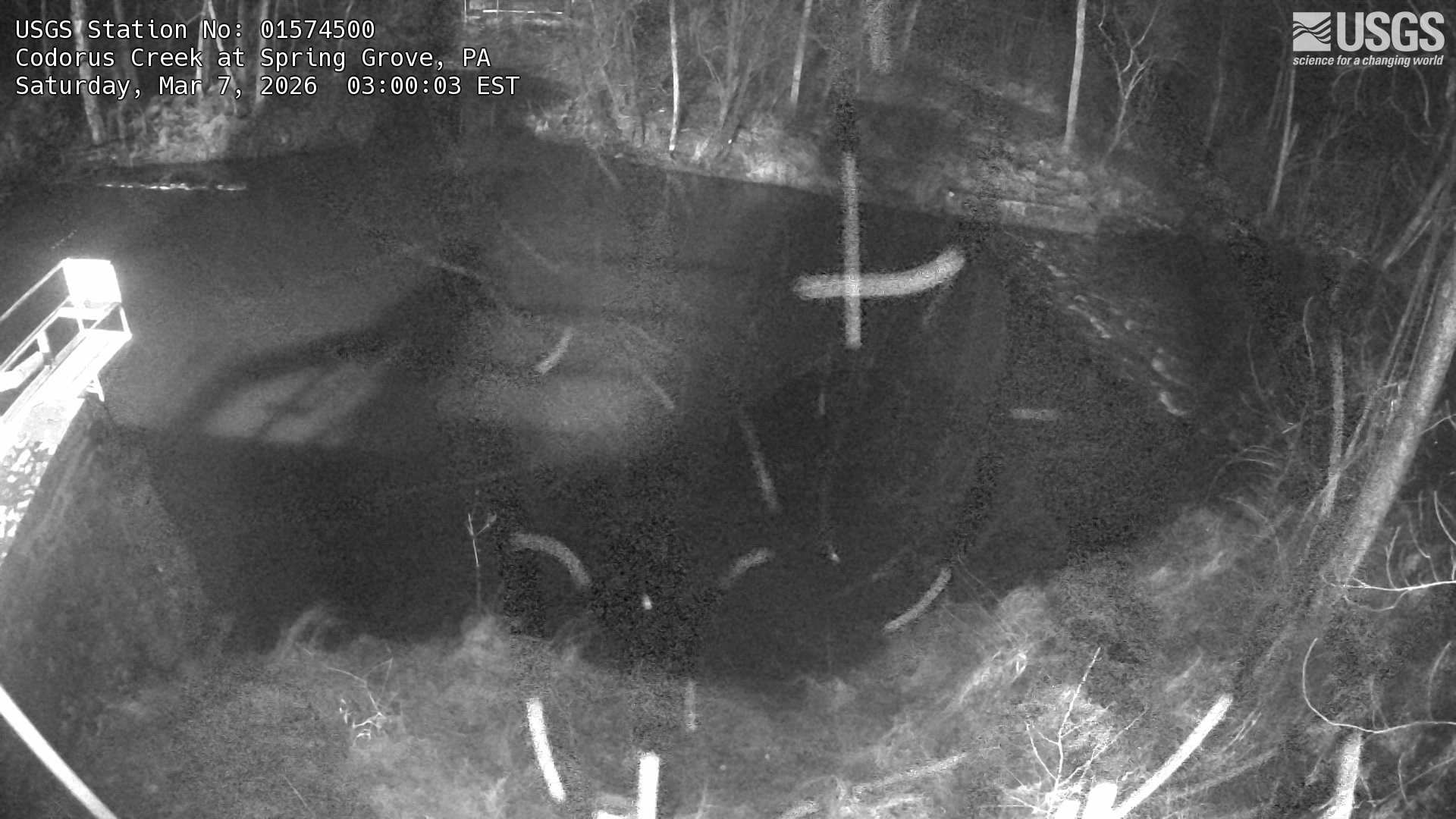 View more imagery information for Codorus Creek at Spring Grove
Monitoring locations with continuous data in last 120 days
No locations found