Important Legacy real-time page
Available data
Select data types to graph from categories based on the way the data were collected.
Learn about the data collection categories Continuous data
3 data types available - data from 1998-10-03 to 2026-10-24
Daily data
1 data types available - data from 1957-08-01 to 2026-10-22
Field measurements
2 data types available - data from 1956-07-20 to 2026-09-21
Discrete sample data
49 Observed properties (data types) available - data from 1964-08-13 to 1987-08-18
162 Sampling activities
Peak measurements
2 data types available - data from 1956-07-20 to 2025-05-31
Statistical tables for select daily data types
1 data types available - data from 1957-08-01 to 2026-10-22
Important information about this monitoring location
LOCATION.-- On left bank 50 ft upstream from bridge on Tom Day Boulevard at U.S. Route 1 in Arbutus, 0.5 mi upstream from mouth, and 2 mi south of Baltimore City limits. PERIOD OF RECORD.-- August 1957 to September 1989, October 1998 to current year. GAGE.-- Water-stage recorder, V-notch sharp crested weir, and crest-stage gage. Datum of gage is 40.04 ft above North American Vertical Datum of 1988. Prior to August 1981, at site 100 ft downstream at same gage datum. REMARKS.-- Slight regulation at low flow from unknown source upstream from station.
Available location images
East Branch Herbert Run at Arbutus
East Branch Herbert Run at Arbutus, MD
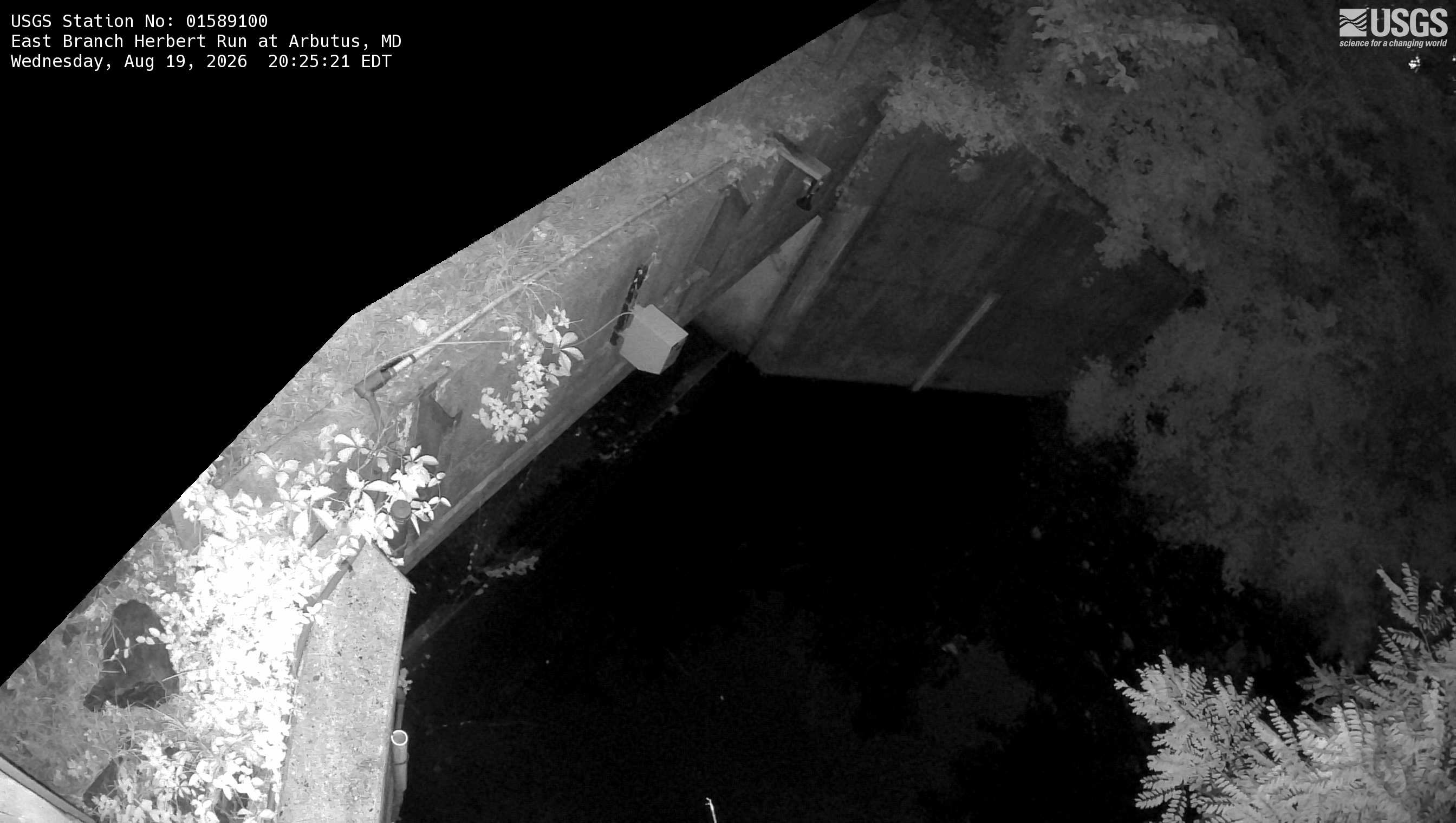 View more imagery information for East Branch Herbert Run at Arbutus
Monitoring locations with continuous data in last 120 days
No locations found