


Important Legacy real-time page
Available data
Select data types to graph from categories based on the way the data were collected.
Learn about the data collection categories Continuous data
9 data types available - data from 2024-11-06 to 2026-10-13
Daily data
7 data types available - data from 2024-11-07 to 2026-10-12
Field measurements
2 data types available - data from 2024-08-09 to 2026-09-30
Discrete sample data
81 Observed properties (data types) available - data from 2024-08-08 to 2026-10-05
625 Sampling activities
Peak measurements
2 data types available - data from 2025-06-18 to 2025-06-18
Statistical tables for select daily data types
6 data types available - data from 2024-11-07 to 2026-10-11
Important information about this monitoring location
LOCATION.-- On left bank, downstream side of Pearre Road bridge, 300 ft south of McKinstrys Mill. PERIOD OF RECORD.-- November 2024 to current year. GAGE.-- Water-stage recorder and crest-stage gage. Datum of gage is 429.53 ft above North American Vertical Datum of 1988. REMARKS (Water Quality).-- Turbidity values greater than 1,000 formazin nepthelometric units (FNU) exceed the instrument calibration range. Values above 1,000 FNU are included in the record but are presumed to have lower accuracy. The accuracy limit of the turbidity sensor in low turbidity water is +/- 0.3 FNU. October 1, 2024: Values are censored and qualified as Less Than 0.3 FNU if they are recorded below 0.3 FNU.
Available location images
Sams Creek at Mckinstrys Mill
Sams Creek at Mckinstrys Mill, MD
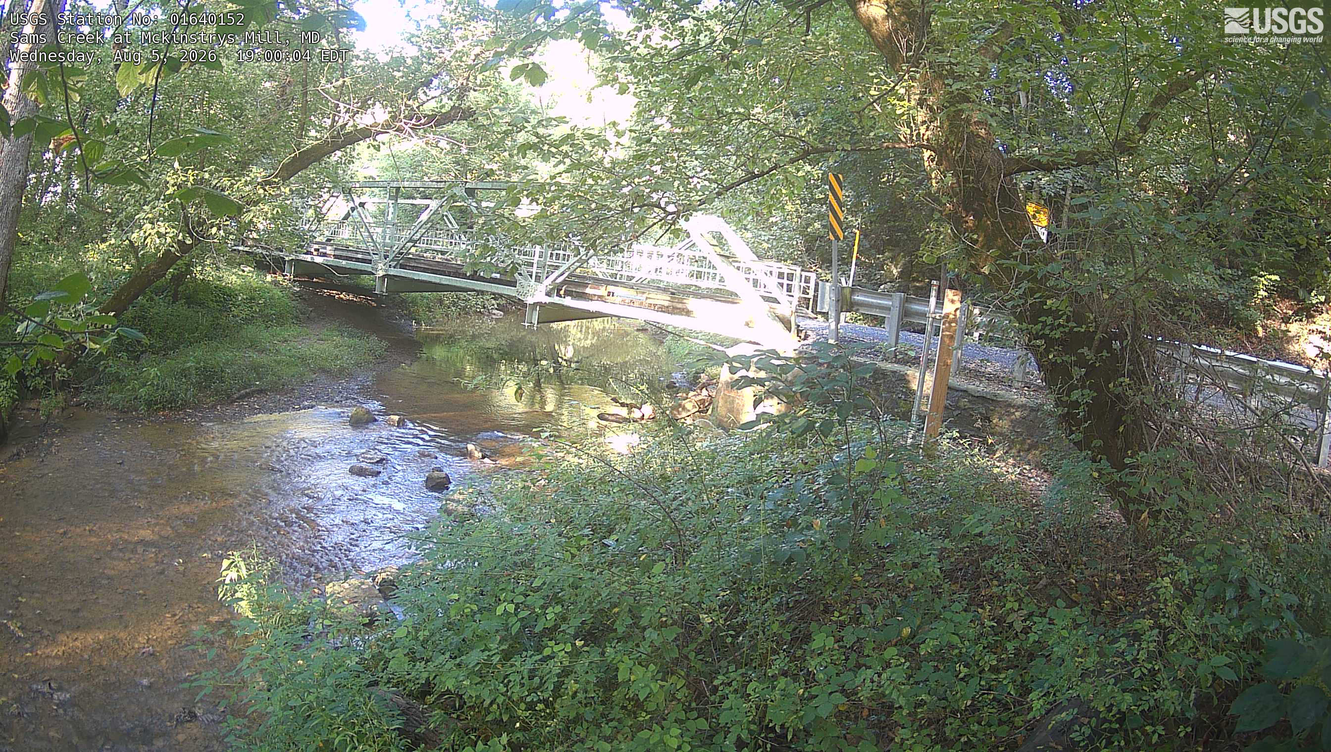 View more imagery information for Sams Creek at Mckinstrys Mill
Monitoring locations with continuous data in last 120 days
No locations found