


Important Legacy real-time page
Available data
Select data types to graph from categories based on the way the data were collected.
Learn about the data collection categories Continuous data
2 data types available - data from 2025-05-31 to 2026-10-14
Daily data
0 data types available
Field measurements
1 data types available - data from 2025-06-04 to 2026-08-12
Discrete sample data
0 observed properties (data types) available
Statistical tables for select daily data types
0 data types available
Available location images
Approach to Mendenhall River at Melvin Park near Auke Bay
Mendenhall River at Melvin Park near Auke Bay, looking at the approach to Killewich Drive. The reference data comes from USGS Station 15052850, Mendenhall River below Montana Creek near Auke Bay, located approximately 1.6 miles downstream from the camera's location.
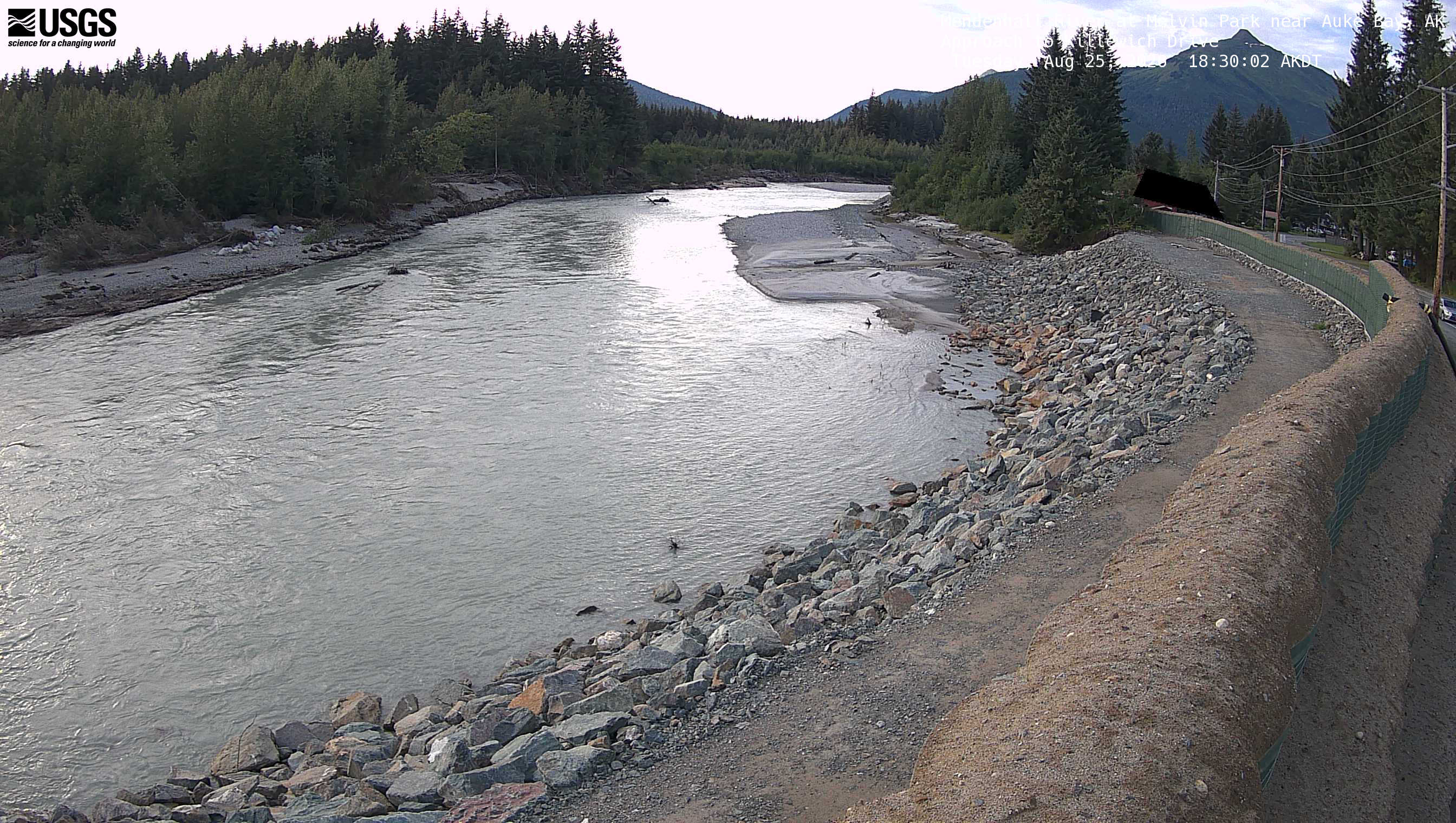 View more imagery information for Approach to Mendenhall River at Melvin Park near Auke Bay
Mendenhall River at Melvin Park near Auke Bay
Mendenhall River at Melvin Park near Auke Bay, looking downstream toward the bend near Killewich Drive. The reference data comes from USGS Station 15052850, Mendenhall River below Montana Creek near Auke Bay, located approximately 1.6 miles downstream from the camera's location.
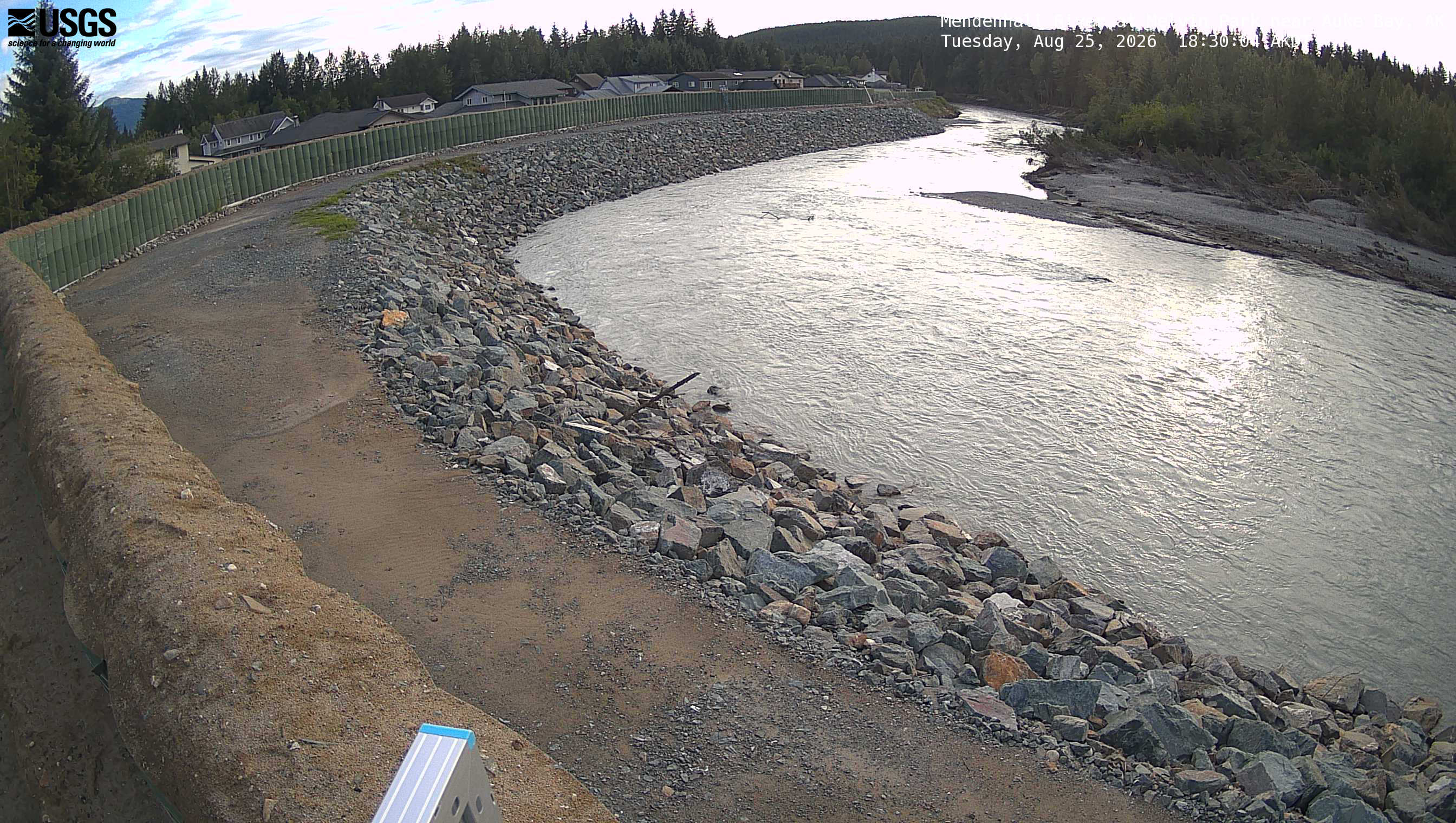 View more imagery information for Mendenhall River at Melvin Park near Auke Bay
Monitoring locations with continuous data in last 120 days
No locations found