


Important Legacy real-time page
Available data
Select data types to graph from categories based on the way the data were collected.
Learn about the data collection categories Continuous data
8 data types available - data from 2011-07-14 to 2026-10-15
Daily data
4 data types available - data from 2011-07-01 to 2026-10-14
Field measurements
3 data types available - data from 2011-07-14 to 2026-08-24
Discrete sample data
135 Observed properties (data types) available - data from 2019-05-22 to 2025-06-10
34 Sampling activities
Peak measurements
2 data types available - data from 2012-08-10 to 2024-08-13
Statistical tables for select daily data types
3 data types available - data from 2011-07-01 to 2026-10-14
Important information about this monitoring location
Datum of gage is 33.9 ft above NAVD of 1988. The NAVD of 1988 was determined by a level 3 GNSS static survey(Reference Frame NAD_83(2011)(EPOCH:2010.0000),
GEOID12B) by USGS on April 23, 2024. Prior to August 2024 arbitrary datum, elevation of gage was 30 ft NGVD of 1929 as determined via topographic map.
GEOID12B) by USGS on April 23, 2024. Prior to August 2024 arbitrary datum, elevation of gage was 30 ft NGVD of 1929 as determined via topographic map.
Available location images
Alsek River at Dry Bay near Yakutat
Alsek River at Dry Bay near Yakutat, AK
Monitoring location 15129120 is associated with a STREAM in CITY AND BOROUGH OF YAKUTAT, ALASKA. Current conditions of DISCHARGE, DISSOLVED OXYGEN, GAGE HEIGHT, and MORE are available. Water data back to 2011 are available online.
This camera is telemetered by satellite and updates at approximately 17:00 UTC (+/- 60 minutes) each day.
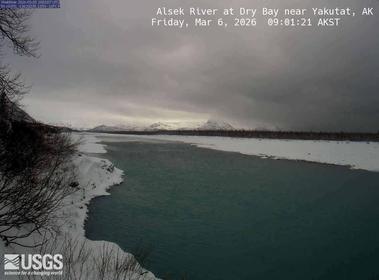 View more imagery information for Alsek River at Dry Bay near Yakutat
Monitoring locations with continuous data in last 120 days
No locations found
