LOCATION.--Lat 42°05'19.7", long
75°18'45.0" referenced to North American Datum of
1983, Delaware County, NY, Hydrologic Unit 02040101, near left
bank on downstream end of pier on State Highway 10 bridge, 3.3
mi upstream from Cannonsville Dam on West Branch Delaware
River, and 5.9 mi northeast of Deposit.
DRAINAGE AREA.--394 mi².
PERIOD OF RECORD.--November 2019 to current year.
GAGE.--Water-stage recorder. Datum of gage is NAVD of
1988.
EXTREMES FOR PERIOD OF RECORD.--Maximum elevation,
1,154.54 ft, Apr. 8, 9, 2022; minimum elevation, 1,106.02
ft, Oct. 29, 2020.
EXTREMES OUTSIDE PERIOD OF RECORD.--Flood on June 29,
2006, reached an elevation of 1,157.52 ft above NAVD of 1988
(1,158.00 ft above NGVD of 1929), from furnished record of
reservoir elevation at station 01424997, Cannonsville Reservoir
near Stilesville, NY.
PERIOD OF DAILY RECORD1.--WATER TEMPERATURE
AT 1,053 FT ABOVE NAVD OF 1988: December 2019 to current
year. WATER TEMPERATURE AT 1,107 FT ABOVE NAVD OF
1988: November 2019 to current year. WATER TEMPERATURE AT
1,144 FT ABOVE NAVD OF 1988: March 2020 to current
year.
INSTRUMENTATION1.--Water-temperature recorder
provides 15-minute-interval readings.
REMARKS1.--Interruption of record may occur
due to water levels falling below the elevation of the
sensor.
EXTREMES FOR PERIOD OF DAILY RECORD1.--WATER
TEMPERATURE AT 1,053 FT ABOVE NAVD OF 1988: Maximum, 17.5
°C, Oct. 19, 2021, Sept. 27, 2022; minimum, 1.6 °C, Feb.
3, 2023. WATER TEMPERATURE AT 1,107 FT ABOVE NAVD OF 1988:
Maximum, 27.4 °C, July 16, 2024; minimum, 1.6 °C,
Jan. 29, 30, 2021, Dec. 28, 2022. WATER TEMPERATURE AT 1,144 FT
ABOVE NAVD OF 1988: Maximum, 28.4 °C, Aug. 27, 2021;
minimum, 0.9 °C, Feb. 27, 2022, Feb. 4, 2023.
1 Water-Quality Records
 This page is undergoing modernization with expected decommissioning as key features
are added to the modernized pages.
This page is undergoing modernization with expected decommissioning as key features
are added to the modernized pages. 
 Site Information
 WaterAlert – get an
email or text (SMS) alert based on your chosen threshold.
WaterAlert – get an
email or text (SMS) alert based on your chosen threshold.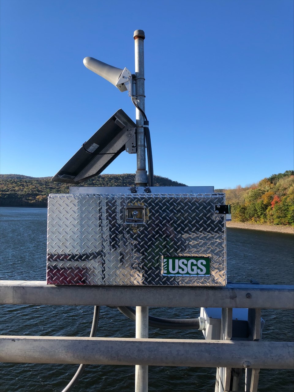 Station image
![Graph of Temperature, water, degrees Celsius, [at 1,053 ft above NAVD of 1988]](https://natwebsdww01.cr.usgs.gov/nwisweb/data/img/USGS.01423910.308249.00010..20261007.20261014..0..gif)
![Graph of Temperature, water, degrees Celsius, [at 1,107 ft above NAVD of 1988]](https://natwebsdww01.cr.usgs.gov/nwisweb/data/img/USGS.01423910.308248.00010..20261007.20261014..0..gif)

![Graph of Lake or reservoir water surface elevation above NAVD 1988, feet, [backup from radar]](https://natwebsdww01.cr.usgs.gov/nwisweb/data/img/USGS.01423910.257371.62615..20261007.20261014..0..gif)
