❄️Streamflow data may be affected by ice during winter months. For more details, see How Does Ice in Rivers and Streams Affect USGS Streamflow Data?
Important Legacy real-time page
Available data
Select data types to graph from categories based on the way the data were collected.
Learn about the data collection categories Continuous data
4 data types available - data from 1981-10-01 to 2026-09-22
Daily data
3 data types available - data from 1922-10-01 to 2026-09-22
Field measurements
2 data types available - data from 1936-03-19 to 2026-06-05
Discrete sample data
49 Observed properties (data types) available - data from 1959-08-07 to 2005-09-22
43 Sampling activities
Peak measurements
2 data types available - data from 1903-10-10 to 2023-12-19
Statistical tables for select daily data types
3 data types available - data from 1922-10-01 to 2026-09-22
Important information about this monitoring location
The water-quality monitor was located on the left bank of the Delaware River. Water-quality parameters at that location were influenced by the Pequest River and were not representative of the entire Delaware River channel at this location.
Available location images
Delaware River at Belvidere
Delaware River at Belvidere, NJ
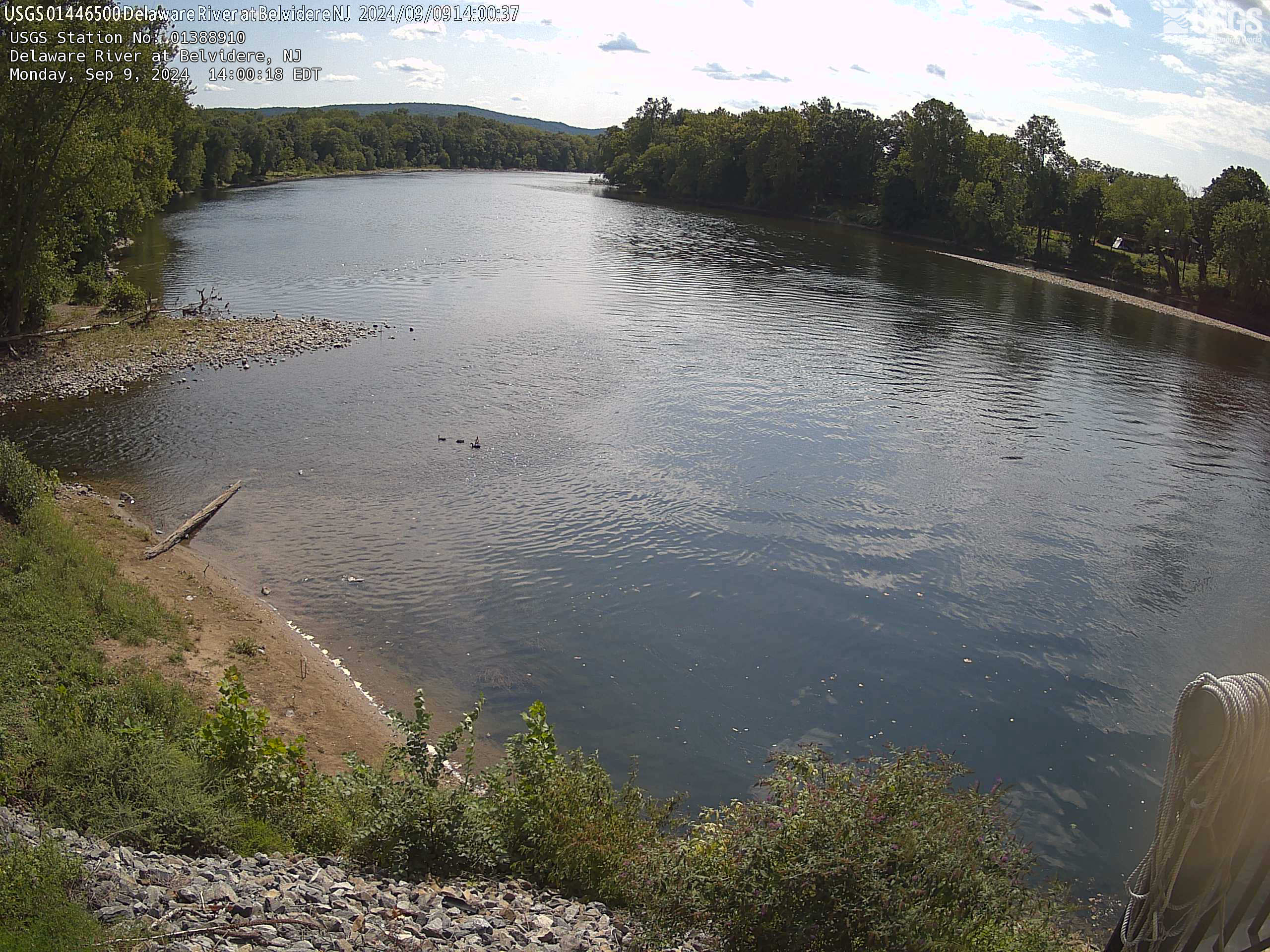 View more imagery information for Delaware River at Belvidere
Monitoring locations with continuous data in last 120 days
No locations found