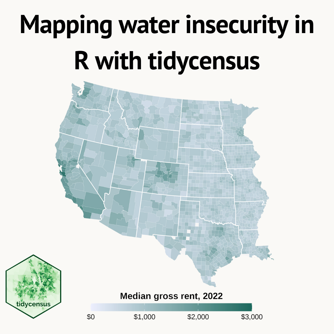
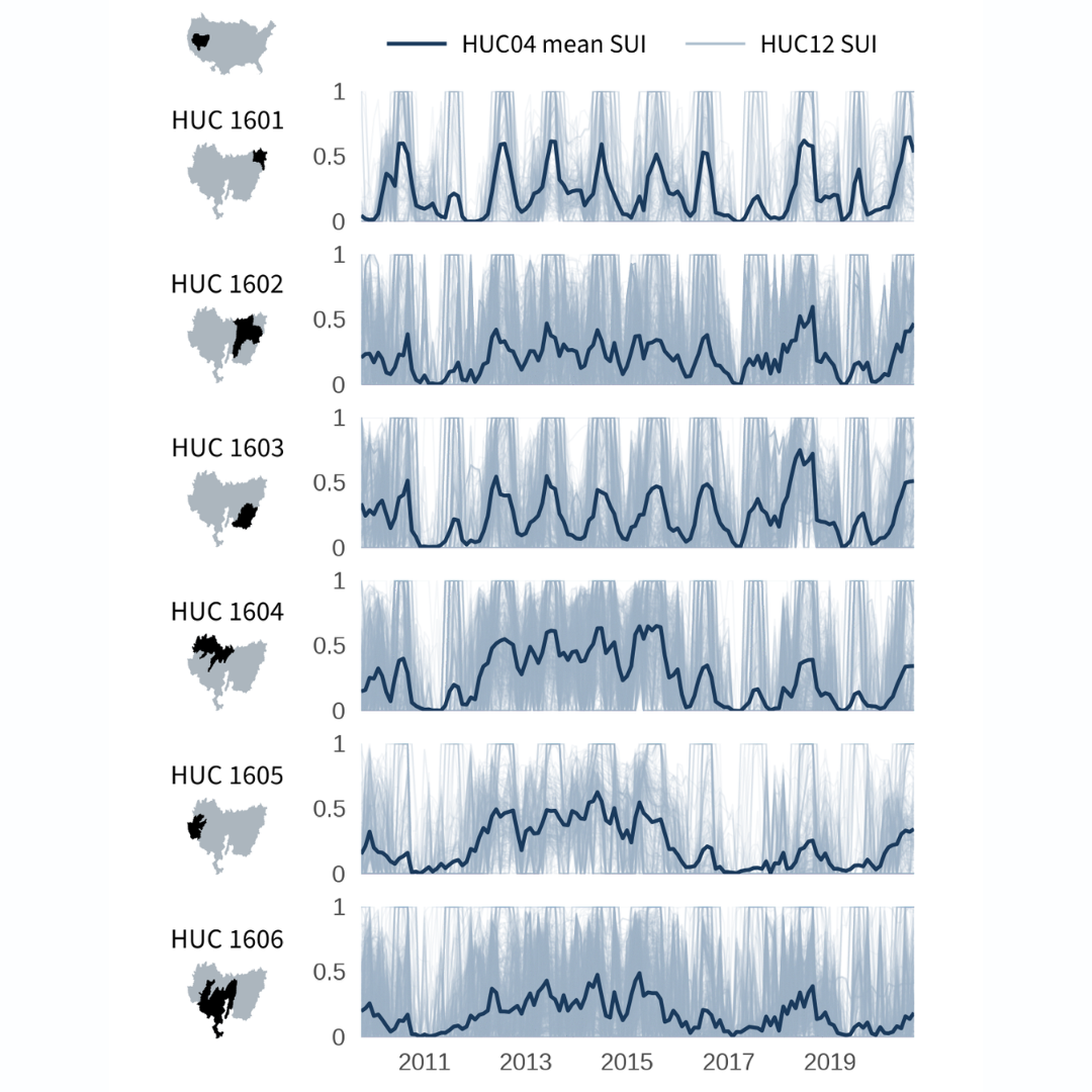
Reproducible workflows that provide the data and tools for you to get started making your own 3D graphics of topographic, satellite, and water data
Due to a lapse in government funding, this website is not currently being updated. For more information please visit: www.doi.gov/shutdown
Reproducible workflows that provide the data and tools for you to get started making your own 3D graphics of topographic, satellite, and water data
This blog shows several different ways to visualize data from the tidycensus
package for R.
Quarto provides easier-than-ever ways to create data-driven, reproducible documents. This blog demonstrates how to use custom code templates to easily replicate code chunks with a reproducible USGS streamgage example!
Using the tidycensus
package to access and visualize American Community Survey (ACS) data.
Reproducible code demonstrating the evolution of a recent data viz of CONUS snow cover