
Keywords: Water
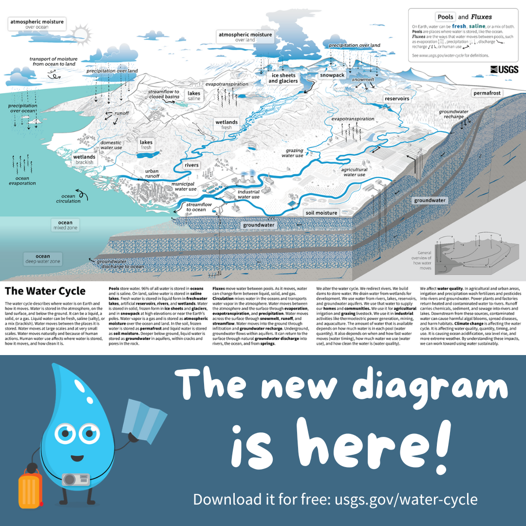
On October 13th 2022, we released a new water cycle diagram! This update re-envisions the water cycle, placing human activities at the forefront. We designed it to emphasize scientific accuracy, information design, and usability in educational settings. We hope that students of all ages better understand how humans affect where water is on Earth and how it moves, so that we can work towards using water more sustainably.
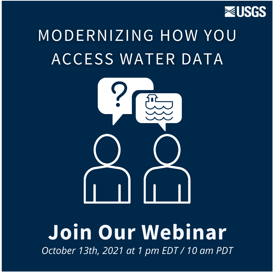
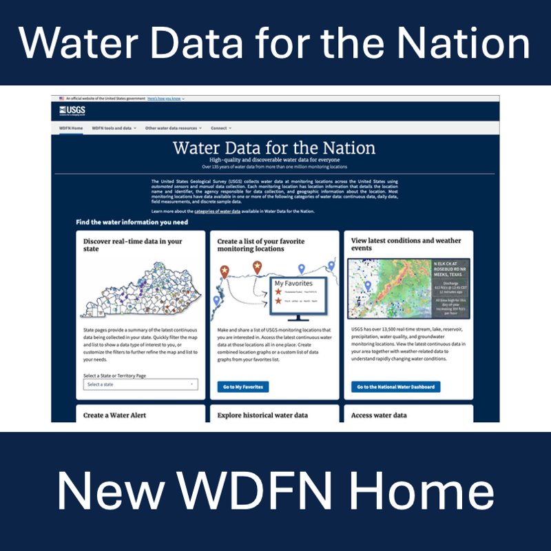
USGS has provided crucial water data online for decades, but the system is outdated, so we’re rebuilding a brand new, modernized system. We’re hosting a webinar to talk about the first release of this new system. Join us for our Teams Live Event on October 13, 2021 at 1 pm EDT/ 10 am PDT.
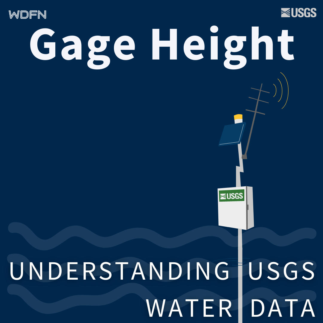
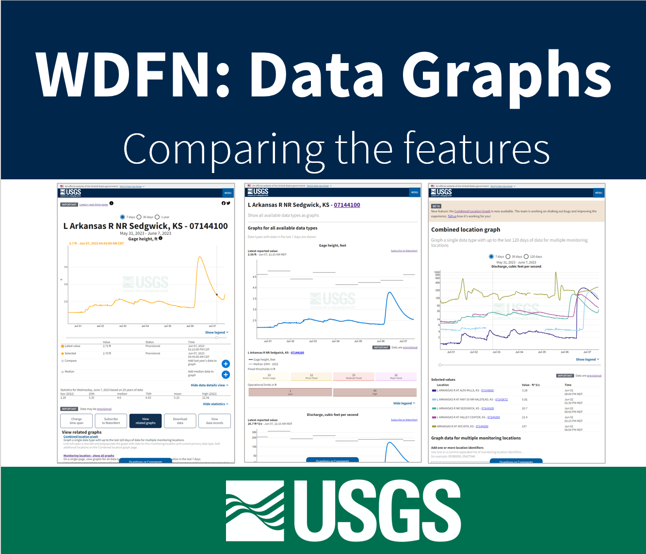
Gage height is used as a default parameter for water availability at streamgages for better user context.
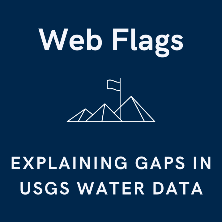
Water data can be masked to help explain gaps in water data availability.