Tag: R
Using ggplot2 to inspect water levels affected by earthquake.
Integrate The National Map services within your own interactive web map using Leaflet for R.
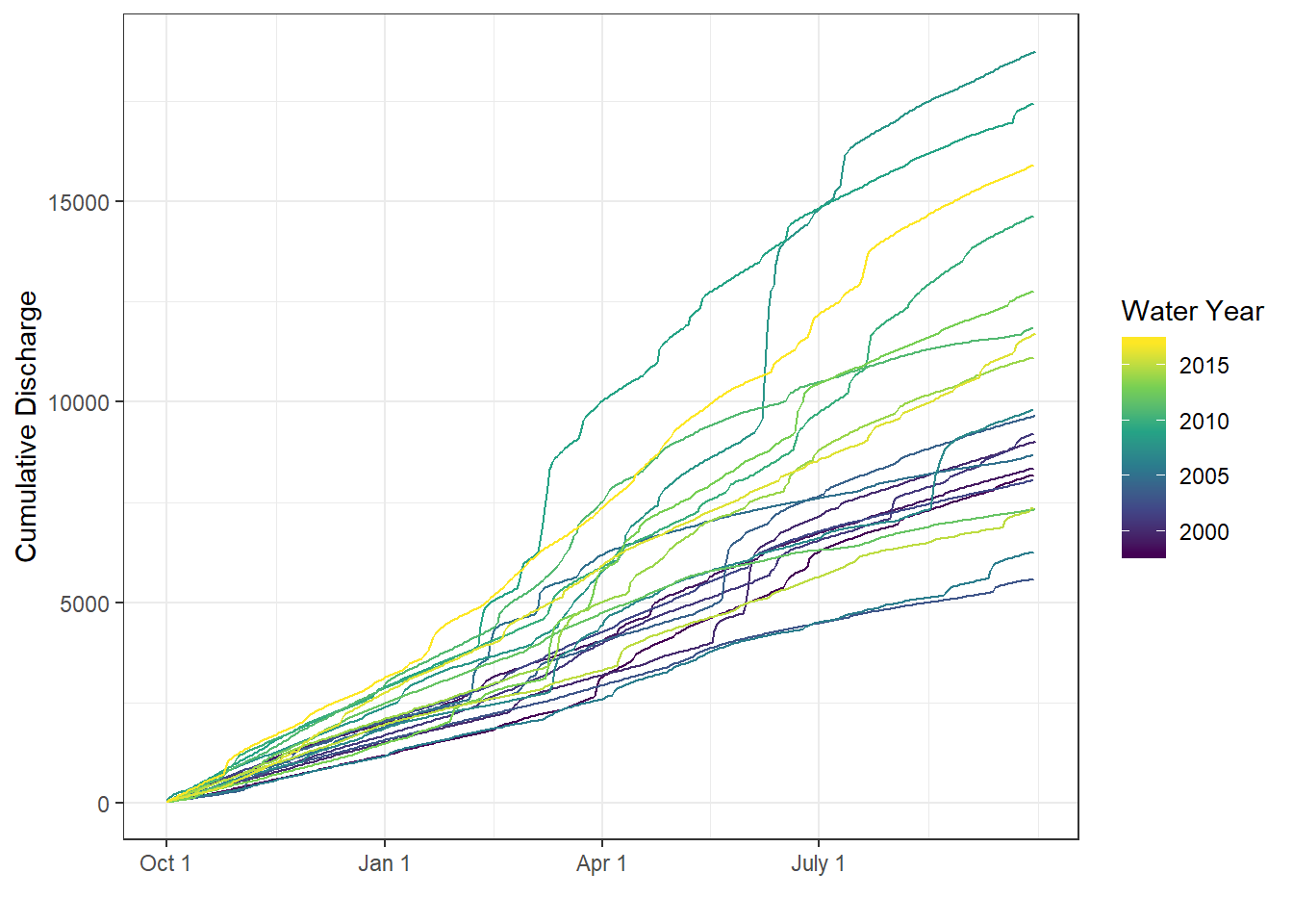
Using the R-packages dataRetrieval, dplyr, and ggplot2, a simple discription on how to create a moving-average plot with historical flow quantiles.
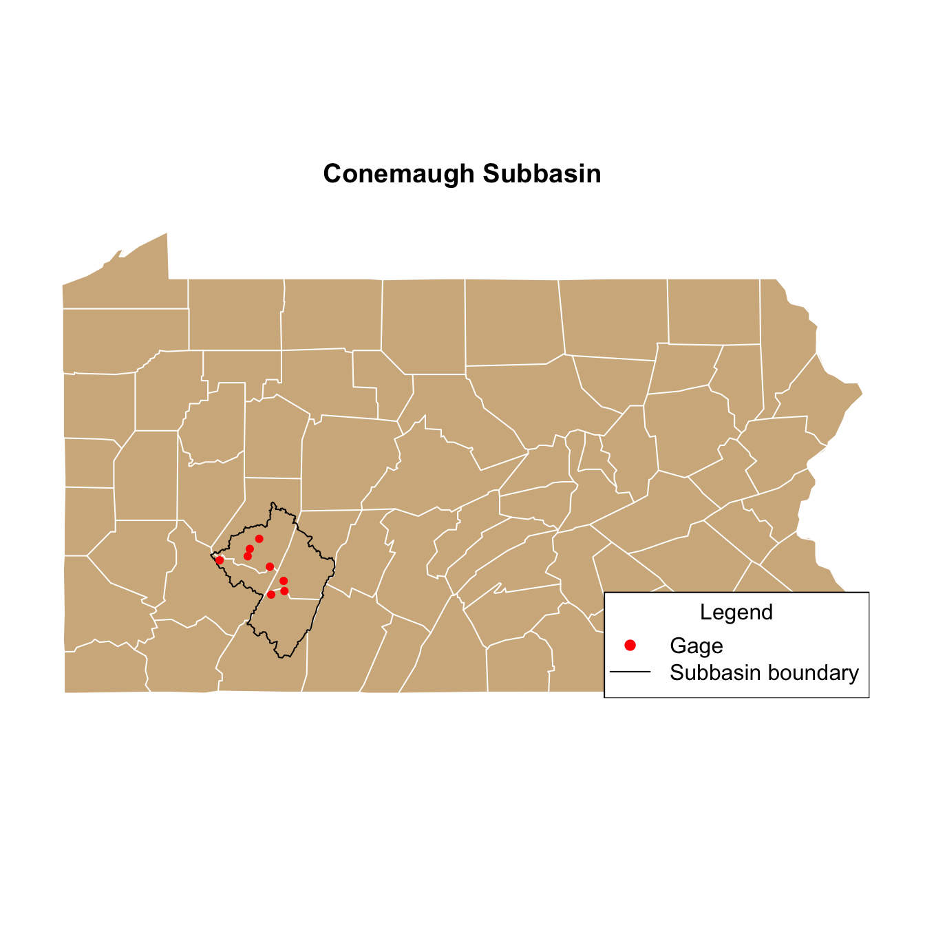
Using the R packages dataRetrieval, leaflet, and htmlwidgets, the workflow for a Hugo page is explained.
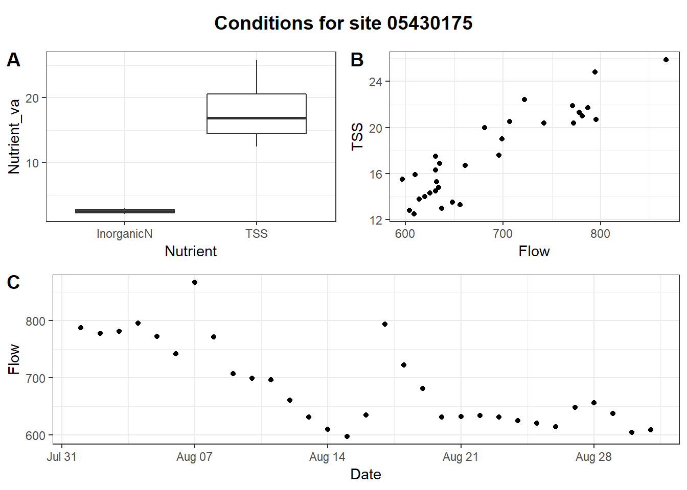
Using the R packages, ggplot and EGRET, a new function plotFlowConc shows a new way to visualize the changes between flow and concentration.
Using random residuals for censored data in EGRET, and R package. Exploration and Graphics for RivEr Trends (EGRET) is an R-package for the analysis of long-term changes in water quality and streamflow, including the water-quality method Weighted Regressions on Time, Discharge, and Season (WRTDS).